File:Jackson County Courthouse in Brownstown, southern side and front.jpg
本预览的尺寸:800 × 600像素。 其他分辨率:320 × 240像素 | 640 × 480像素 | 1,024 × 768像素 | 1,280 × 960像素 | 2,560 × 1,920像素 | 2,816 × 2,112像素。
原始文件 (2,816 × 2,112像素,文件大小:2.76 MB,MIME类型:image/jpeg)
| 相机位置 | | 在以下服务上查看本图像和附近其他图像: OpenStreetMap |
|---|
| 描述 |
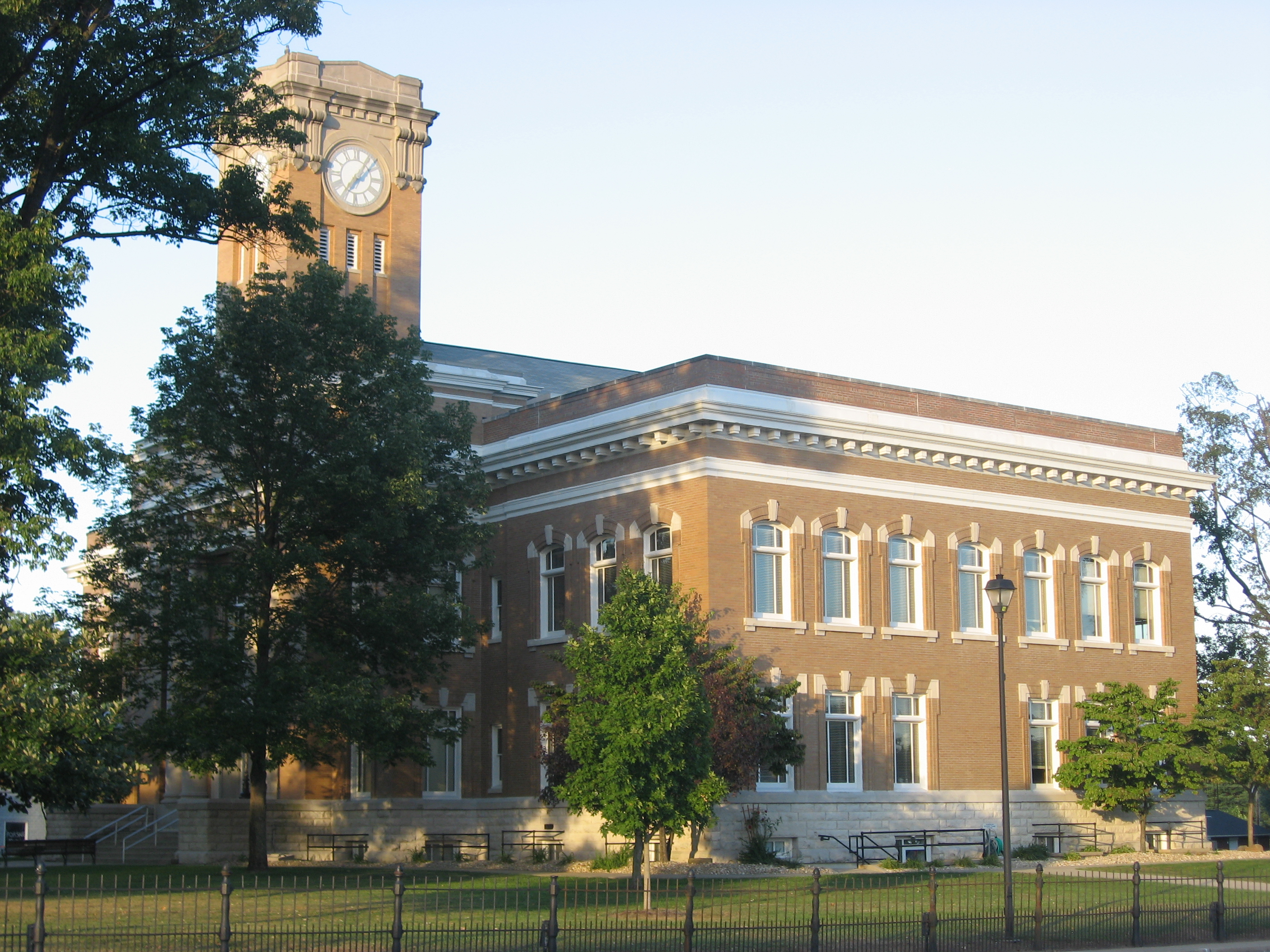
English: Southern side and front of the Jackson County Courthouse, located along S. Main Street (U.S. Route 50) in downtown Brownstown, Indiana, United States. Built in 1870, the courthouse is listed on the National Register of Historic Places. |
||
| 日期 | 摄于2011年9月17日 | ||
| 来源 | 自己的作品 | ||
| 作者 | Nyttend | ||
| 授权 (二次使用本文件) |
|
文件历史
点击某个日期/时间查看对应时刻的文件。
| 日期/时间 | 缩略图 | 大小 | 用户 | 备注 | |
|---|---|---|---|---|---|
| 当前 | 2011年9月26日 (一) 16:49 | | 2,816 × 2,112(2.76 MB) | Nyttend | {{Location|38|52|42|N|86|2|29|W}} {{Information |Description={{en|Southern side and front of the {{w|Jackson County Courthouse (Indiana)|Jackson County Courthouse}}, located along S. Main Street ({{w|U.S. Route 50}}) in downtown {{w|Brownstown, Indiana|Br |
文件用途
以下页面使用本文件:
全域文件用途
以下其他wiki使用此文件:
- ar.wikipedia.org上的用途
- ceb.wikipedia.org上的用途
- ce.wikipedia.org上的用途
- cy.wikipedia.org上的用途
- en.wikipedia.org上的用途
- eo.wikipedia.org上的用途
- et.wikipedia.org上的用途
- fa.wikipedia.org上的用途
- fr.wikipedia.org上的用途
- hu.wikipedia.org上的用途
- hy.wikipedia.org上的用途
- ko.wikipedia.org上的用途
- nl.wikipedia.org上的用途
- no.wikipedia.org上的用途
- pl.wikipedia.org上的用途
- pt.wikipedia.org上的用途
- ro.wikipedia.org上的用途
- ru.wikipedia.org上的用途
- simple.wikipedia.org上的用途
- sr.wikipedia.org上的用途
- sv.wikipedia.org上的用途
- tr.wikipedia.org上的用途
- tt.wikipedia.org上的用途
- ur.wikipedia.org上的用途
- www.wikidata.org上的用途
- zh-min-nan.wikipedia.org上的用途