File:Lake Pend Oreille.jpg

本预览的尺寸:800 × 534像素。 其他分辨率:320 × 214像素 | 640 × 427像素 | 1,024 × 683像素 | 1,500 × 1,001像素。
原始文件 (1,500 × 1,001像素,文件大小:357 KB,MIME类型:image/jpeg)
摘要
| 描述 |
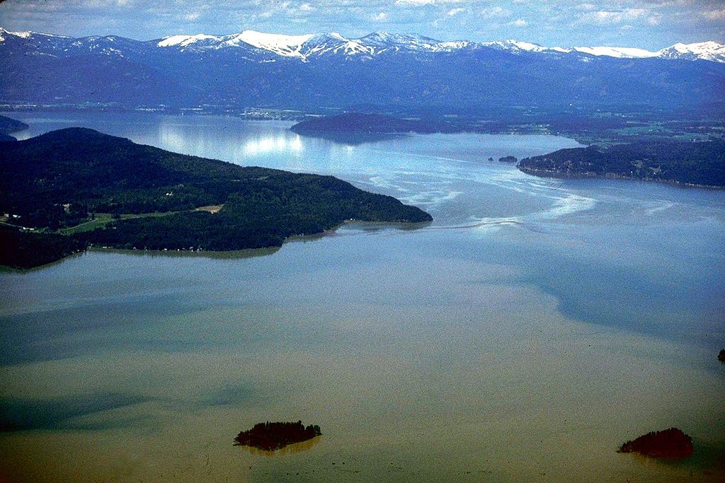
English: Aerial view of Lake Pend Oreille on the Pend Oreille River in 1993. |
|||
| 图中地点 | Bonner County, Idaho, USA 48°11′0.55″N 116°20′42.77″W / 48.1834861°N 116.3452139°W |
|||
| 日期 | ||||
| 来源 |
U.S. Army Corps of Engineers Digital Visual Library Image page Image description page Digital Visual Library home page |
|||
| 作者 | U.S. Army Corps of Engineers, photographer not specified or unknown | |||
| 授权 (二次使用本文件) |
|
文件历史
点击某个日期/时间查看对应时刻的文件。
| 日期/时间 | 缩略图 | 大小 | 用户 | 备注 | |
|---|---|---|---|---|---|
| 当前 | 2009年8月31日 (一) 20:40 | | 1,500 × 1,001(357 KB) | Martin H. | from File:Lake Pend Oreille.jpg, per uploaders request on COM:HD. |
| 2007年4月17日 (二) 03:48 |  | 1,500 × 1,001(625 KB) | DanMS | {{Information2 | Description = {{en|Aerial view of Lake Pend Oreille on the Pend Oreille River in 1993.}} | Source = U.S. Army Corps of Engineers Digital Visual Library<br />[http://images.usace.army.mil/images/Hires/4900-29.Jpg Image page]<br |
文件用途
以下页面使用本文件:
全域文件用途
以下其他wiki使用此文件:
- ar.wikipedia.org上的用途
- arz.wikipedia.org上的用途
- ceb.wikipedia.org上的用途
- cs.wikipedia.org上的用途
- de.wikipedia.org上的用途
- en.wikipedia.org上的用途
- es.wikipedia.org上的用途
- et.wikipedia.org上的用途
- fr.wikipedia.org上的用途
- id.wikipedia.org上的用途
- it.wikipedia.org上的用途
- nl.wikipedia.org上的用途
- pl.wikipedia.org上的用途
- ru.wikipedia.org上的用途
- sr.wikipedia.org上的用途
- www.wikidata.org上的用途
- xmf.wikipedia.org上的用途