File:Locatie Ionische Zee.PNG
此为最大尺寸。
Locatie_Ionische_Zee.PNG (473 × 430像素,文件大小:17 KB,MIME类型:image/png)
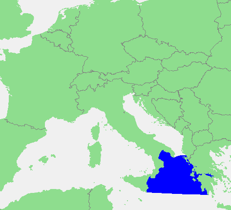
| 描述 | In dutch: Locatie Ionische Zee.PNG | ||||
| 来源 | own work based on PD map | ||||
| 作者 | edited by M.Minderhoud | ||||
| 授权 (二次使用本文件) |
|
文件历史
点击某个日期/时间查看对应时刻的文件。
| 日期/时间 | 缩略图 | 大小 | 用户 | 备注 | |
|---|---|---|---|---|---|
| 当前 | 2012年6月28日 (四) 15:42 | | 473 × 430(17 KB) | Ciaurlec | Corrected western and southern limits |
| 2006年9月12日 (二) 18:21 |  | 473 × 430(16 KB) | Michiel1972 | {{Information |Description=In dutch: {{subst:PAGENAME}} |Source= own work based on PD map |Date= |Author= edited by M.Minderhoud |Permission= {{PD-Demis}} |other_versions= }} category:Locator maps of seas |
文件用途
没有页面链接到本图像。
全域文件用途
以下其他wiki使用此文件:
- an.wikipedia.org上的用途
- avk.wikipedia.org上的用途
- ca.wikipedia.org上的用途
- es.wikipedia.org上的用途
- fr.wikipedia.org上的用途
- fy.wikipedia.org上的用途
- gl.wikipedia.org上的用途
- ia.wikipedia.org上的用途
- incubator.wikimedia.org上的用途
- ky.wikipedia.org上的用途
- li.wikipedia.org上的用途
- nds-nl.wikipedia.org上的用途
- nl.wikipedia.org上的用途
- pt.wikipedia.org上的用途
- ru.wiktionary.org上的用途
- sc.wikipedia.org上的用途
- tl.wikipedia.org上的用途
- vls.wikipedia.org上的用途
- zh-yue.wikipedia.org上的用途