File:Maadilocation.gif
此为最大尺寸。
Maadilocation.gif (533 × 572像素,文件大小:14 KB,MIME类型:image/gif)
摘要
| 描述 |
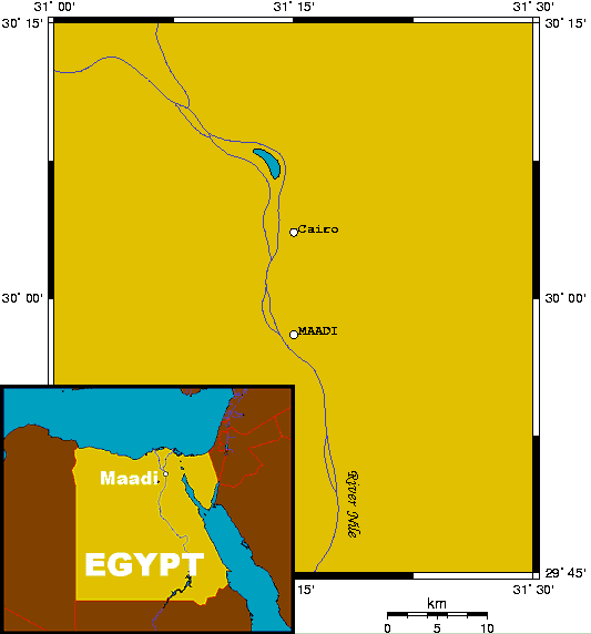
English: Maadi's location, small-scale map to show location relative to Cairo, and large-scale inset. This map's source is here, with the uploader's modifications, and the GMT homepage says that the tools are released under the GNU General Public License, and it may be considered PD. |
| 日期 | 2005年2月13日 (原始上传日期) |
| 来源 | 本檔案是由Man77從en.wikipedia轉移到維基共享資源。 |
| 作者 | 英语维基百科的Kelisi |
许可协议
| 本作品已被作者英语维基百科的Kelisi释出到公有领域。这适用于全世界。 在一些国家这可能不合法;如果是这样的话,那么: Kelisi无条件地授予任何人以任何目的使用本作品的权利,除非这些条件是法律规定所必需的。 |
原始上传日志
原始描述頁面位於這裡。下列使用者名稱均來自en.wikipedia。
- 2005-02-13 20:33 Kelisi 533×572×8 (13831 bytes) Maadi's location, small-scale map to show location relative to Cairo, and large-scale inset. This map was generated using OMC, and may be considered PD.
文件历史
点击某个日期/时间查看对应时刻的文件。
| 日期/时间 | 缩略图 | 大小 | 用户 | 备注 | |
|---|---|---|---|---|---|
| 当前 | 2008年3月31日 (一) 19:54 | | 533 × 572(14 KB) | File Upload Bot (Magnus Manske) | {{BotMoveToCommons|en.wikipedia}} {{Information |Description={{en|Maadi's location, small-scale map to show location relative to Cairo, and large-scale inset. This map's source is [http://www.aquarius.ifm-geomar.de/ here], with the uploader's modificatio |
文件用途
以下页面使用本文件:
全域文件用途
以下其他wiki使用此文件:
- ar.wikipedia.org上的用途
- arz.wikipedia.org上的用途
- azb.wikipedia.org上的用途
- ca.wikipedia.org上的用途
- de.wikipedia.org上的用途
- en.wikipedia.org上的用途
- eo.wikipedia.org上的用途
- fa.wikipedia.org上的用途
- fr.wikipedia.org上的用途
- ga.wikipedia.org上的用途
- it.wikipedia.org上的用途
- pt.wikipedia.org上的用途
- ru.wikipedia.org上的用途
- sr.wikipedia.org上的用途
- ur.wikipedia.org上的用途
- www.wikidata.org上的用途