File:Maderas seen from the South by ET.JPG
此为最大尺寸。
Maderas_seen_from_the_South_by_ET.JPG (800 × 600像素,文件大小:75 KB,MIME类型:image/jpeg)
摘要
| 描述 |
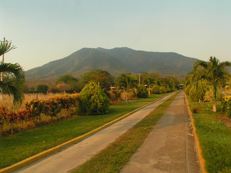
English: Maderas Volcano as seen from the South in Ometepe island, Nicaragua. Taken at the entry to the trail leading to the San Ramon waterfall. |
| 日期 | 摄于2008年4月25日 |
| 来源 | 自己的作品 |
| 作者 | Wikiwanito |
| 相机位置 | | 在以下服务上查看本图像和附近其他图像: OpenStreetMap |
|---|
许可协议
| 我,本作品著作权人,释出本作品至公有领域。这适用于全世界。 在一些国家这可能不合法;如果是这样的话,那么: 我无条件地授予任何人以任何目的使用本作品的权利,除非这些条件是法律规定所必需的。 |
文件历史
点击某个日期/时间查看对应时刻的文件。
| 日期/时间 | 缩略图 | 大小 | 用户 | 备注 | |
|---|---|---|---|---|---|
| 当前 | 2010年6月6日 (日) 12:33 | | 800 × 600(75 KB) | Wikiwanito | {{Information |Description={{en|1=Maderas Volcano (Ometepe island, Nicaragua) seen from the South (from the entry to the trail leading to the San Ramon waterfall).}} |Source=Taken by myself |Author=Myself |Date=Picture taken on 2008-04-25 |Permission= |ot |
文件用途
以下页面使用本文件:
全域文件用途
以下其他wiki使用此文件:
- arz.wikipedia.org上的用途
- az.wikipedia.org上的用途
- ceb.wikipedia.org上的用途
- cs.wikipedia.org上的用途
- de.wikipedia.org上的用途
- en.wikipedia.org上的用途
- es.wikipedia.org上的用途
- fa.wikipedia.org上的用途
- fr.wikipedia.org上的用途
- hr.wikipedia.org上的用途
- hu.wikipedia.org上的用途
- hy.wikipedia.org上的用途
- it.wikipedia.org上的用途
- it.wikivoyage.org上的用途
- ka.wikipedia.org上的用途
- ko.wikipedia.org上的用途
- lld.wikipedia.org上的用途
- lt.wikipedia.org上的用途
- lv.wikipedia.org上的用途
- mk.wikipedia.org上的用途
- nl.wikipedia.org上的用途
- pl.wikipedia.org上的用途
- pt.wikipedia.org上的用途
- ru.wikipedia.org上的用途
- tr.wikipedia.org上的用途
- uk.wikipedia.org上的用途
- www.wikidata.org上的用途