File:Map of Hawaii highlighting Honolulu County.svg

此SVG文件的PNG预览的大小:800 × 520像素。 其他分辨率:320 × 208像素 | 640 × 416像素 | 1,024 × 666像素 | 1,280 × 832像素 | 2,560 × 1,664像素 | 5,663 × 3,681像素。
原始文件 (SVG文件,尺寸为5,663 × 3,681像素,文件大小:23 KB)
摘要
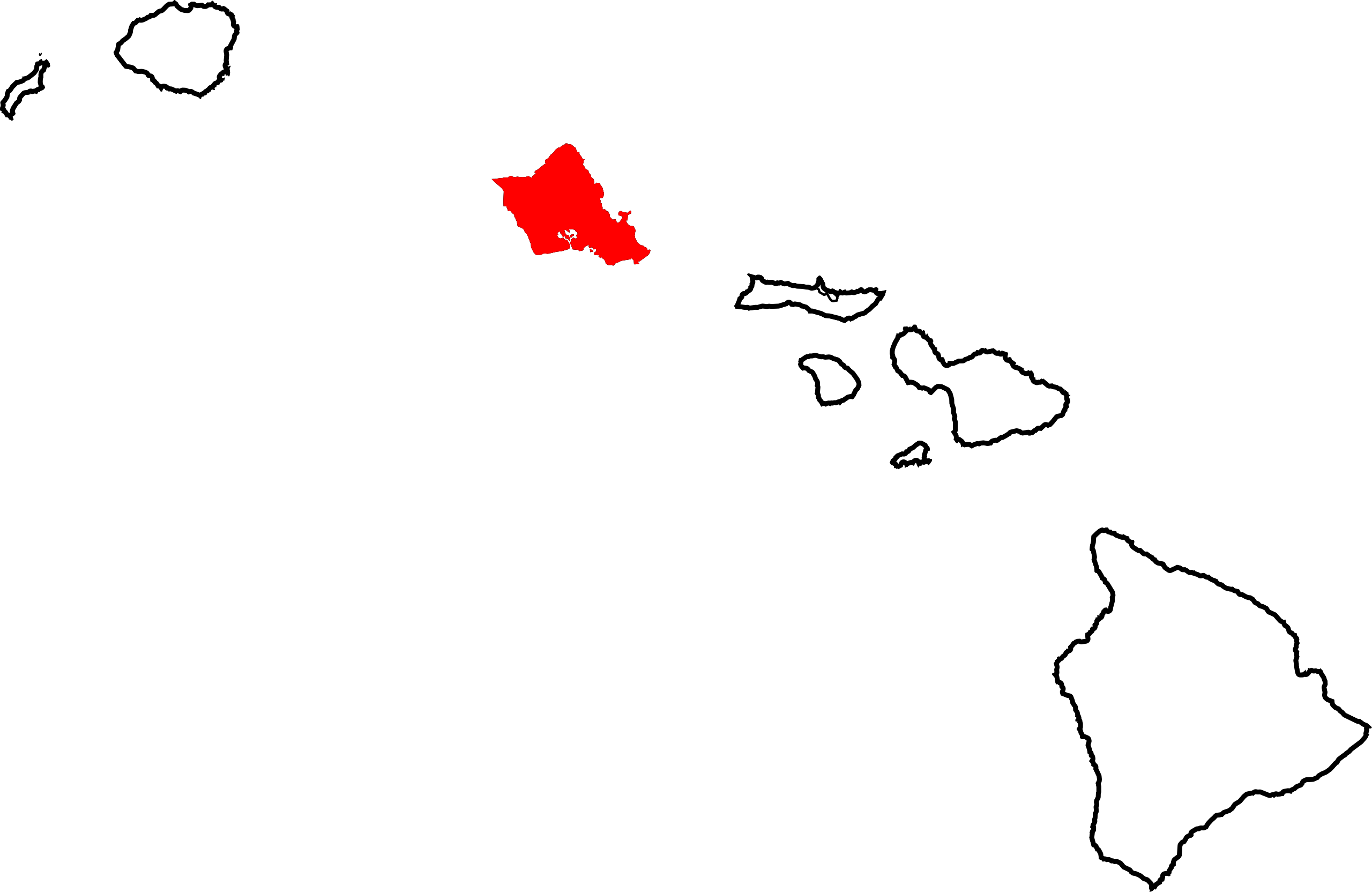
English: Locator map showing Honolulu County — which includes the island of Oʻahu and the Northwestern Hawaiian Islands, in the state of Hawaiʻi.
- Credits
David Benbennick made this map. For more information, see Commons:United States county locator maps.
| 我,本作品著作权人,释出本作品至公有领域。这适用于全世界。 在一些国家这可能不合法;如果是这样的话,那么: 我无条件地授予任何人以任何目的使用本作品的权利,除非这些条件是法律规定所必需的。 |
文件历史
点击某个日期/时间查看对应时刻的文件。
| 日期/时间 | 缩略图 | 大小 | 用户 | 备注 | |
|---|---|---|---|---|---|
| 当前 | 2006年2月12日 (日) 11:06 | | 5,663 × 3,681(23 KB) | David Benbennick | {{subst:User:Dbenbenn/clm|county=Honolulu County|state=Hawaii}} |
文件用途
以下65个页面使用本文件:
- 伊娃村 (夏威夷州)
- 伊娃根特里 (夏威夷州)
- 伊娃海灘
- 克雷斯特維尤 (夏威夷州)
- 凱盧阿 (檀香山縣)
- 凱穆基 (夏威夷州)
- 北庫洛波科 (夏威夷州)
- 卡內奧赫 (夏威夷州)
- 卡哈盧 (夏威夷州)
- 卡拉洛亞 (夏威夷州)
- 卡波利 (夏威夷州)
- 卡維拉灣 (夏威夷州)
- 卡胡庫 (夏威夷州)
- 卡阿瓦 (夏威夷州)
- 哈利瓦 (夏威夷州)
- 哈拉瓦 (夏威夷州)
- 夏威夷凱 (夏威夷州)
- 夏威夷州行政区划
- 夏威夷海軍陸戰隊基地
- 奧利納度假村
- 希克姆豪辛 (夏威夷州)
- 帕洛洛 (夏威夷州)
- 庫尼亞坎普 (夏威夷州)
- 怀马纳洛
- 惠勒空軍基地
- 惠特莫爾村 (夏威夷州)
- 懷克勒 (夏威夷州)
- 懷厄奈 (夏威夷州)
- 懷厄盧阿 (夏威夷州)
- 懷帕胡 (夏威夷州)
- 懷皮奧 (夏威夷州)
- 懷皮奧畝 (夏威夷州)
- 懷馬盧 (夏威夷州)
- 懷馬納洛海灘 (夏威夷州)
- 斯科菲爾德營
- 易洛魁點 (夏威夷州)
- 普普基亞 (夏威夷州)
- 普納盧 (夏威夷州)
- 東檀香山 (夏威夷州)
- 檀香山
- 檀香山市縣
- 波奧亞 (夏威夷州)
- 珍珠城 (夏威夷州)
- 瓦希阿瓦 (夏威夷州)
- 米利拉尼 (夏威夷州)
- 米利拉尼莫卡 (夏威夷州)
- 納納庫利 (夏威夷州)
- 縉皇居 (夏威夷州)
- 羅納爾庫尼亞 (夏威夷州)
- 艾亞 (夏威夷州)
- 艾伊納海納 (夏威夷州)
- 莫庫萊亞 (夏威夷州)
- 莫納威利 (夏威夷州)
- 萊以耶 (夏威夷州)
- 西洛奇莊園 (夏威夷州)
- 赫埃亞 (夏威夷州)
- 邁利 (夏威夷州)
- 阿庫普 (夏威夷州)
- 阿惠馬努 (夏威夷州)
- 霍烏拉 (夏威夷州)
- 韋米亞灣 (夏威夷州)
- 馬卡哈 (夏威夷州)
- 馬卡哈谷 (夏威夷州)
- 馬卡基洛 (夏威夷州)
- Template:檀香山縣 (夏威夷州)
全域文件用途
以下其他wiki使用此文件:
- af.wikipedia.org上的用途
- als.wikipedia.org上的用途
- ar.wikipedia.org上的用途
- azb.wikipedia.org上的用途
- bg.wikipedia.org上的用途
- bpy.wikipedia.org上的用途
- de.wikipedia.org上的用途
- Hawaii
- Liste der Countys in Hawaii
- City and County of Honolulu
- ʻAiea (Hawaii)
- Pūpūkea
- Kailua (Hawaii)
- Waiʻanae (Hawaii)
- Kahuku
- Kāneʻohe
- Waipahu
- Pearl City (Hawaii)
- Wahiawā
- Haleʻiwa
- Mililani
- Lāʻie
- Waimānalo
- Waialua
- Hauʻula
- Mākaha
- Mokulēʻia
- East Honolulu
- ʻEwa Gentry
- Makakilo
- ʻEwa Beach
- Hālawa
- Vorlage:Navigationsleiste Orte im Honolulu City and County
- en.wikipedia.org上的用途
查看本文件的更多全域用途。