File:Portugal Morocco Locator.png
本预览的尺寸:567 × 600像素。 其他分辨率:227 × 240像素 | 454 × 480像素 | 726 × 768像素 | 1,036 × 1,096像素。
原始文件 (1,036 × 1,096像素,文件大小:48 KB,MIME类型:image/png)

|
此locator map图片可使用矢量图形重新创建为SVG文件。这具有很多好处;更多信息请参见共享资源:待清理媒体。如果存在此图片的SVG格式,请将其上传,然后将此模板替换为
{{vector version available|新图片名称}}。
建议您将SVG命名为“Portugal Morocco Locator.svg”,这样在使用Vector version available(或Vva)模板时就不需要填写新图片名称参数。 |
摘要
| 描述 |
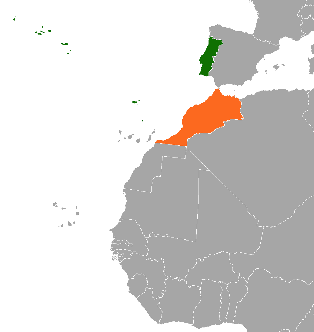
English: Portugal Morocco Locator |
| 日期 | |
| 来源 | 自己的作品 |
| 作者 | Phoenix B 1of3 |
| 本作品采用知识共享CC0 1.0 通用公有领域贡献许可协议授权。 | |
| 采用本宣告发表本作品的人,已在法律允许的范围内,通过在全世界放弃其对本作品拥有的著作权法规定的所有权利(包括所有相关权利),将本作品贡献至公有领域。您可以复制、修改、传播和表演本作品,将其用于商业目的,无需要求授权。
|
许可协议
我,本作品著作权人,特此采用以下许可协议发表本作品:
| 本作品采用知识共享CC0 1.0 通用公有领域贡献许可协议授权。 | |
| 采用本宣告发表本作品的人,已在法律允许的范围内,通过在全世界放弃其对本作品拥有的著作权法规定的所有权利(包括所有相关权利),将本作品贡献至公有领域。您可以复制、修改、传播和表演本作品,将其用于商业目的,无需要求授权。
|
文件历史
点击某个日期/时间查看对应时刻的文件。
| 日期/时间 | 缩略图 | 大小 | 用户 | 备注 | |
|---|---|---|---|---|---|
| 当前 | 2021年11月13日 (六) 05:57 | | 1,036 × 1,096(48 KB) | Aquintero82 | Updated map |
| 2021年3月11日 (四) 04:21 |  | 339 × 266(9 KB) | Al.Massira | Reverted to version as of 21:42, 10 March 2021 (UTC) Per COM:OVERWRITE, restoring the original long standing version that was here for nine years longer | |
| 2021年3月11日 (四) 03:33 |  | 1,160 × 1,056(80 KB) | Koavf | Reverted to version as of 21:41, 10 March 2021 (UTC) | |
| 2021年3月10日 (三) 21:42 |  | 339 × 266(9 KB) | Al.Massira | Reverted to version as of 21:38, 10 March 2021 (UTC) Per COM:OVERWRITE I am restoring the original, longest standing version. Original file | |
| 2021年3月10日 (三) 21:41 |  | 1,160 × 1,056(80 KB) | M.Bitton | Reverted to version as of 23:28, 29 December 2020 (UTC): Per COM:OVERWRITE | |
| 2021年3月10日 (三) 21:38 |  | 339 × 266(9 KB) | Al.Massira | Reverted to version as of 16:24, 10 March 2021 (UTC) fair enough, going back to original file highlighting the Western Sahara region | |
| 2021年3月10日 (三) 21:31 |  | 1,160 × 1,056(80 KB) | M.Bitton | Reverted to version as of 23:28, 29 December 2020 (UTC): Per COM:OVERWRITE | |
| 2021年3月10日 (三) 19:40 |  | 1,160 × 1,056(46 KB) | Al.Massira | I made a version that seems more fair, going back to the newer map which is more detailed, a color switch is fine but highlighted the Western Sahara just like it was in the old/original version. I also put a dash border between them because the old version did not have a border between them, while the new version does, so a dashed line would be in the between. | |
| 2021年3月10日 (三) 16:24 |  | 339 × 266(9 KB) | Al.Massira | Reverted to version as of 04:05, 19 August 2020 (UTC) original file and colors | |
| 2020年12月29日 (二) 23:28 |  | 1,160 × 1,056(80 KB) | Aquintero82 | Updated map |
文件用途
以下页面使用本文件:
全域文件用途
以下其他wiki使用此文件:
- ar.wikipedia.org上的用途
- de.wikipedia.org上的用途
- en.wikipedia.org上的用途
- es.wikipedia.org上的用途
- fa.wikipedia.org上的用途
- he.wikipedia.org上的用途
- ru.wikipedia.org上的用途
- uk.wikipedia.org上的用途
- www.wikidata.org上的用途