File:Syria adm location map.svg

原始文件 (SVG文件,尺寸为921 × 806像素,文件大小:274 KB)
摘要
| 描述 |
Deutsch: Positionskarte von Syrien
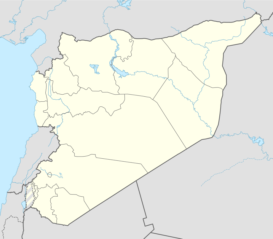
English: Location map of Syria
|
||||||||||||
| 日期 | |||||||||||||
| 来源 |
个人作品,使用:
|
||||||||||||
| 作者 | NordNordWest | ||||||||||||
| SVG开发 | |||||||||||||

许可协议
Usage of this file with:

explanatory notes: Legally binding is only the full legalcode. For a free usage I recommend to respect the following licence conditions:
1. Provide my name as given above: NordNordWest,
2. a copy of, or the URI for, the applicable license: https://creativecommons.org/licenses/by-sa/3.0/de/legalcode,
3. the title of the work,
4. in the case of an adaptation, a credit identifying the use of the work in the adaptation.
This license and the rights granted hereunder will terminate automatically upon any breach by you of the terms of this license. Any of the above conditions can be waived if you get permission from the copyright holder. If you have questions or wish differing conditions, please contact me through nnwest or my discussion page ![]() t-online.de
t-online.de
- 您可以自由地:
- 共享 – 复制、发行并传播本作品
- 修改 – 改编作品
- 惟须遵守下列条件:
- 署名 – 您必须对作品进行署名,提供授权条款的链接,并说明是否对原始内容进行了更改。您可以用任何合理的方式来署名,但不得以任何方式表明许可人认可您或您的使用。
- 相同方式共享 – 如果您再混合、转换或者基于本作品进行创作,您必须以与原先许可协议相同或相兼容的许可协议分发您贡献的作品。

文件历史
点击某个日期/时间查看对应时刻的文件。
| 日期/时间 | 缩略图 | 大小 | 用户 | 备注 | |
|---|---|---|---|---|---|
| 当前 | 2022年11月18日 (五) 14:05 | | 921 × 806(274 KB) | GrandEscogriffe | more correct N/S stretching |
| 2021年4月27日 (二) 11:51 |  | 921 × 761(190 KB) | NordNordWest | Reverted to version as of 21:21, 26 April 2021 (UTC), COM:OW | |
| 2021年4月27日 (二) 08:54 |  | 512 × 423(117 KB) | ויקי4800 | ImReverted to version as of 18:19, 26 April 2021 (UTC) | |
| 2021年4月26日 (一) 21:21 |  | 921 × 761(190 KB) | NordNordWest | Reverted to version as of 17:52, 27 January 2016 (UTC), nope | |
| 2021年4月26日 (一) 18:19 |  | 512 × 423(117 KB) | ויקי4800 | תיקון גבולות מדינת ישראל | |
| 2016年1月27日 (三) 17:52 |  | 921 × 761(190 KB) | NordNordWest | upd | |
| 2015年9月28日 (一) 15:07 |  | 921 × 761(191 KB) | NordNordWest | == {{int:filedesc}} == {{Information |Description= {{de|1=Positionskarte von Syrien}} {{en|1=Location map of Syria}} {{Location map series N |stretching=115 |top=37.6 |bottom=32.0 |left=34.9 |right=42.7 }} |Source={{Own using}} * United States National... |
文件用途
以下85个页面使用本文件:
- 2012年7月大马士革炸弹袭击事件
- 2016年9月5日叙利亚炸弹袭击
- 2018年杜马化学袭击事件
- 2024年以色列轰炸伊朗驻叙利亚大使馆
- 上巴古斯
- 乌尔卡什
- 代尔祖尔
- 伊兹拉
- 伊德利卜
- 卡爾達哈
- 卡米什利
- 卡迭石
- 叙利亚世界遗产列表
- 古賽爾 (敘利亞)
- 哈塞克
- 哈巴布
- 哈拉夫遗址
- 哈马 (叙利亚)
- 埃勃拉
- 塔尔图斯
- 塞奈迈因
- 塞萊米耶
- 大马士革
- 大马士革国际机场
- 奈瓦
- 巴卜
- 巴塞勒·阿萨德国际机场
- 巴尼亚斯
- 巴拉 (敘利亞)
- 布斯拉
- 布未达
- 帕尔米拉
- 庫奈特拉
- 德拉
- 拉卡
- 拉塔基亚
- 拉斯坦
- 提亚斯空军基地
- 敘利亞沙漠攻勢
- 曼比季
- 杜馬 (敘利亞)
- 查加尔·巴扎尔
- 梅泽赫
- 沙勒钦
- 泰勒艾卜耶德
- 烏加里特
- 盖尔亚廷
- 科巴尼州
- 第一次古赛尔战斗
- 舍赫巴州
- 艾因角
- 艾因阿拉伯
- 艾尔瓦德岛
- 艾库贝尔大屠杀
- 苏韦达
- 萨克巴
- 薩拉丁堡
- 蘇萊曼沙阿陵
- 蘇赫奈
- 蘇韋達區
- 賈拉布魯斯
- 賈茲拉州
- 贝萨 (叙利亚城镇)
- 贾西姆
- 邁亞丁
- 邁斯亞夫
- 那卜魯德
- 阿勒颇
- 阿勒颇古城
- 阿勒颇国际机场
- 阿夫林
- 阿夫林州
- 阿布凱馬勒
- 阿布杜胡尔
- 阿特坦夫
- 雅爾矛克難民營
- 霍姆斯 (敘利亞)
- 馬盧拉
- 馬雷特努曼
- 骑士堡
- User:Jingsongliu/Diban
- Template:Location map Syria
- Template:叙利亚世界遗产
- Module:Location map/data/Syria
- Module:Location map/data/Syria/doc
全域文件用途
以下其他wiki使用此文件:
- af.wikipedia.org上的用途
- als.wikipedia.org上的用途
- an.wikipedia.org上的用途
- ar.wikipedia.org上的用途
- الدولة الزنكية
- الدولة الإلخانية
- بانياس
- ابن قيم الجوزية
- سجن تدمر
- تفسير ابن كثير
- أرواد
- قائمة مطارات سوريا
- سجن عدرا
- سجن المزة
- بقين
- دير مار موسى الحبشي
- قدسيا الجديدة
- عين حور
- نصيب
- الهامة
- تالين (بانياس)
- قدسيا
- معان (حماة)
- مجزرة الحولة
- ضهر صفرا
- المحطة الحرارية (بانياس)
- بطولة اتحاد غرب آسيا لكرة القدم 2002
- قائمة مواقع التراث العالمي في سوريا
- وحدة:Location map/data/Syria
- ضريح سليمان شاه
- مجزرة حطلة
- مجزرة عدرا
- مطار حماة العسكري
- مجزرة معان
- مجزرة خان العسل
- عمليات القصف في حلب (أبريل–يوليو 2016)
- تفجيرا القامشلي يوليو 2016
- وحدة:Location map/data/Syria/شرح
- تفجيرات 5 سبتمبر 2016 في سوريا
- برهليا
- غارة دير الزور الجوية (سبتمبر 2016)
- الحسينية (ريف دمشق)
查看本文件的更多全域用途。