File:TransPecosTexas.svg

此SVG文件的PNG预览的大小:512 × 512像素。 其他分辨率:240 × 240像素 | 480 × 480像素 | 768 × 768像素 | 1,024 × 1,024像素 | 2,048 × 2,048像素。
原始文件 (SVG文件,尺寸为512 × 512像素,文件大小:305 KB)
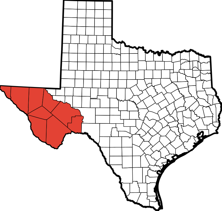
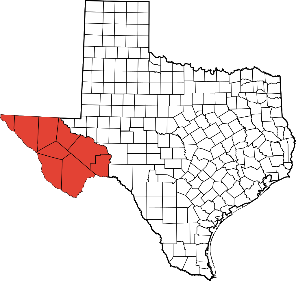
| 描述 | This is a locator map showing Jeff Davis County in Texas. David Benbennick made this map. For more information, see Commons:United States county locator maps. |
| 日期 | (UTC) |
| 来源 | |
| 作者 |
|
| 这是一张修改过的图片,这意味着它已在原版本的基础上通过软件进行了编辑,改动内容:Colored Trans-Pecos region。其原始版本为:TexasRegions.svg。修改者:Fortguy。
|
我,本作品著作权人,特此采用以下许可协议发表本作品:
| 我,本作品著作权人,释出本作品至公有领域。这适用于全世界。 在一些国家这可能不合法;如果是这样的话,那么: 我无条件地授予任何人以任何目的使用本作品的权利,除非这些条件是法律规定所必需的。 |
原始上传日志
This image is a derivative work of the following images:
- File:TexasRegions.svg licensed with PD-self
- 2009-08-15T22:40:01Z Fortguy 512x512 (314803 Bytes) {{Information |Description=This is a locator map showing [[w:Jeff Davis County, Texas|Jeff Davis County]] in Texas. [[User:Dbenbenn|David Benbennick]] made this map. For more information, see [[Commons:United States county
Uploaded with derivativeFX
文件历史
点击某个日期/时间查看对应时刻的文件。
| 日期/时间 | 缩略图 | 大小 | 用户 | 备注 | |
|---|---|---|---|---|---|
| 当前 | 2009年8月16日 (日) 14:52 | | 512 × 512(305 KB) | Fortguy | {{Information |Description=This is a locator map showing Jeff Davis County in Texas. David Benbennick made this map. For more information, see Commons:United States county locator maps. |Source=*[[:Fi |
文件用途
以下页面使用本文件:
全域文件用途
以下其他wiki使用此文件:
- cs.wikipedia.org上的用途
- en.wikipedia.org上的用途
- fr.wikipedia.org上的用途
- lt.wikipedia.org上的用途
- no.wikipedia.org上的用途