File:VOC Octrooigebied 1.jpg
本预览的尺寸:800 × 585像素。 其他分辨率:320 × 234像素 | 640 × 468像素 | 1,024 × 749像素 | 1,280 × 936像素 | 2,268 × 1,659像素。
原始文件 (2,268 × 1,659像素,文件大小:626 KB,MIME类型:image/jpeg)
The official trade zone was indicated (several times) in the 1602 Charter of the VOC. That's why I suggest to add a link under "files" to the site where recently an English translation was published of that charter. www.australiaonthemap.org.au/content/view/50/59 AHS encourages this. Peter R the translator
摘要
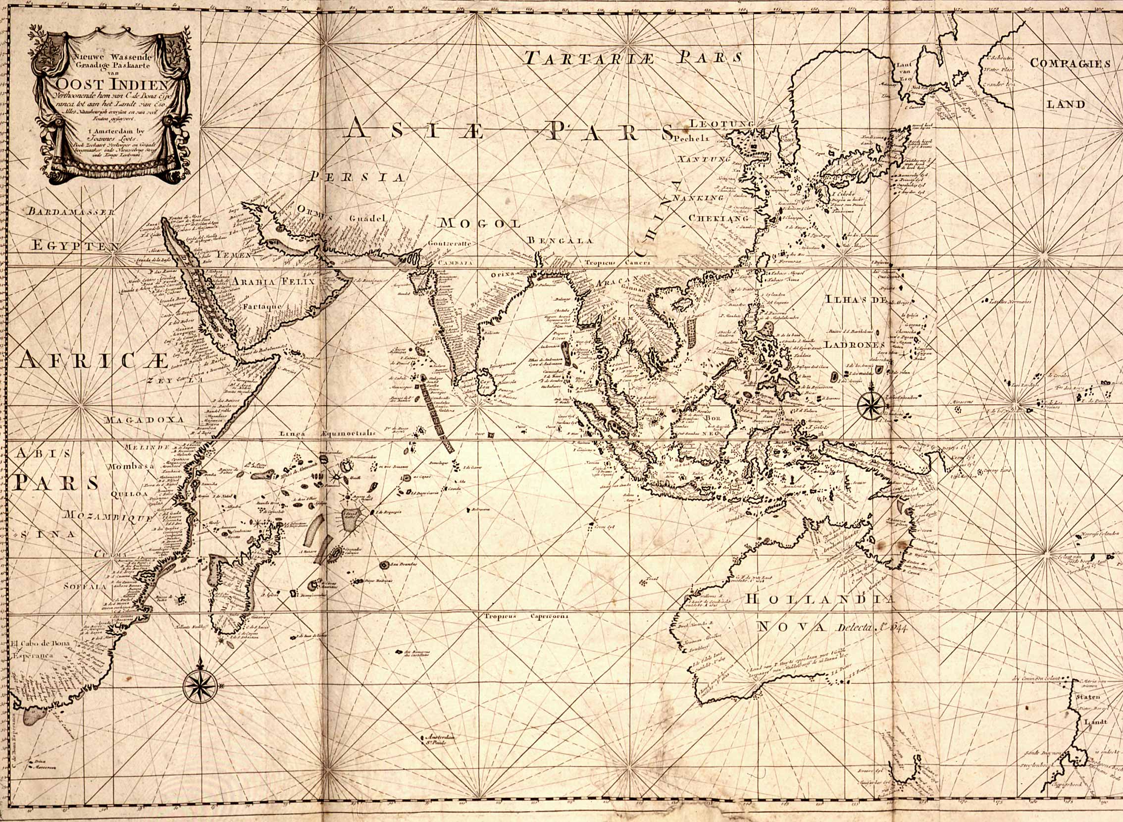
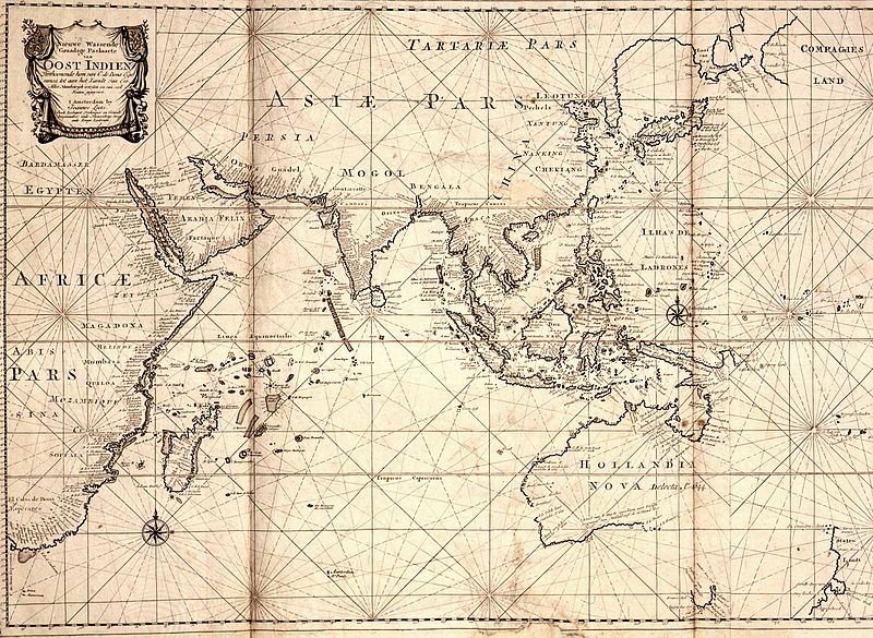
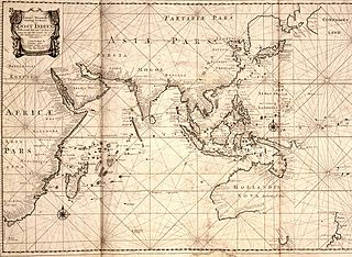
| 描述 | Map of the East Indies; the official trade zone (octrooigebied) of the VOC according to the VOC Charter, which was between Cape of Good Hope (South Africa) and Street Magallan (South America); printed c. 1700. |
| 日期 | |
| 来源 | TANAP |
| 作者 |
许可协议
|
本作品在其来源国以及其他著作权期限是作者逝世后100年或以下的国家和地区属于公有领域。 | |
| 本文件已被确认为免除已知的著作权法限制(包括所有相关权利)。 | |
文件历史
点击某个日期/时间查看对应时刻的文件。
| 日期/时间 | 缩略图 | 大小 | 用户 | 备注 | |
|---|---|---|---|---|---|
| 当前 | 2008年5月3日 (六) 10:31 | | 2,268 × 1,659(626 KB) | BoH | {{Information |Description=Map of the East Indies; the official trade zone (octrooigebied) of the VOC according to the VOC Charter, which was between Cape of Good Hope (South Africa) and Street Magallan (South America); printed c. 1700. |Source=[http://ww |
文件用途
以下页面使用本文件:
全域文件用途
以下其他wiki使用此文件:
- af.wikipedia.org上的用途
- en.wikipedia.org上的用途
- nl.wikipedia.org上的用途