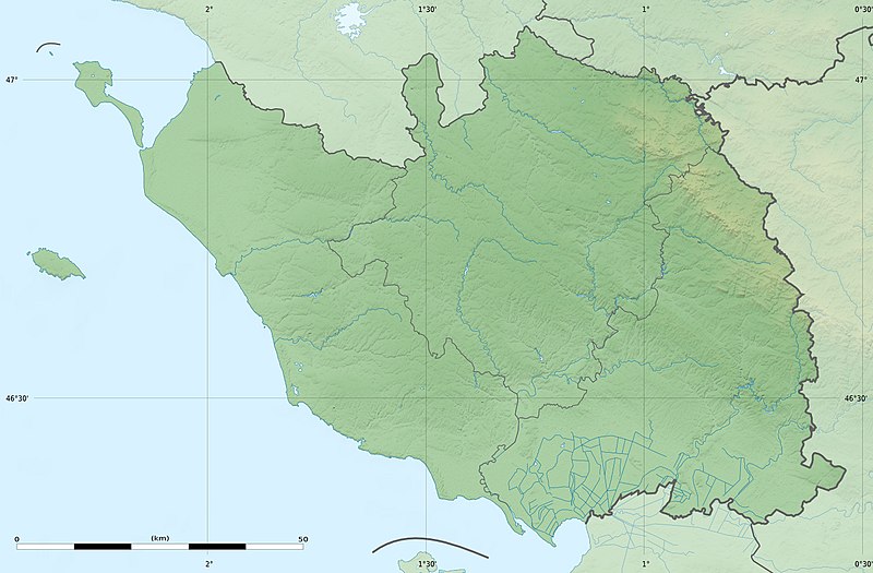
File:Vendée department relief location map.jpg

本预览的尺寸:800 × 525像素。 其他分辨率:320 × 210像素 | 640 × 420像素 | 1,024 × 672像素 | 1,386 × 909像素。
原始文件 (1,386 × 909像素,文件大小:299 KB,MIME类型:image/jpeg)
文件历史
点击某个日期/时间查看对应时刻的文件。
| 日期/时间 | 缩略图 | 大小 | 用户 | 备注 | |
|---|---|---|---|---|---|
| 当前 | 2011年3月2日 (三) 21:38 |  | 1,386 × 909(299 KB) | Sting | == {{int:filedesc}} == {{Information |Description={{en|Blank physical map of the department of Vendée, France, as in February 2011, for geo-location purpose, with distinct boundaries for regions, departments and arrondissements.}} {{fr|Ca |
文件用途
以下页面使用本文件:
全域文件用途
以下其他wiki使用此文件:
- als.wikipedia.org上的用途
- de.wikipedia.org上的用途
- eo.wikipedia.org上的用途
- fr.wikipedia.org上的用途
- Saint-Denis-du-Payré
- La Roche-sur-Yon
- Les Sables-d'Olonne (ancienne commune)
- Grosbreuil
- Saint-Hilaire-la-Forêt
- Montaigu (Vendée)
- Fontenay-le-Comte
- Maillezais
- Noirmoutier-en-l'Île
- Île de Noirmoutier
- Luçon (Vendée)
- Marais poitevin
- Vouvant
- Nesmy
- La Montagne (Loire-Atlantique)
- Mouilleron-en-Pareds
- Pissotte
- Aizenay
- La Ferrière (Vendée)
- Géographie de la Vendée
- Challans
- L'Épine (Vendée)
- Saint-Florent-des-Bois
- Mesnard-la-Barotière
- Saint-Germain-l'Aiguiller
- Saint-Christophe-du-Ligneron
- Givrand
- Le Givre
- Saint-Gilles-Croix-de-Vie
- Beaulieu-sous-la-Roche
- Saint-Hilaire-de-Riez
- Pouzauges
- Saint-Michel-en-l'Herm
- Bourneau
- La Tranche-sur-Mer
- Chantonnay
- Talmont-Saint-Hilaire
- Chavagnes-en-Paillers
- Angles (Vendée)
- Barbâtre (Vendée)
- Expédition de l'île d'Yeu
- Pertuis Breton
查看此文件的更多全域用途。

