File:Western Ghana districts.png
本预览的尺寸:776 × 600像素。 其他分辨率:311 × 240像素 | 621 × 480像素 | 994 × 768像素 | 1,056 × 816像素。
原始文件 (1,056 × 816像素,文件大小:45 KB,MIME类型:image/png)

|
此locator map图片可使用矢量图形重新创建为SVG文件。这具有很多好处;更多信息请参见共享资源:待清理媒体。如果存在此图片的SVG格式,请将其上传,然后将此模板替换为
{{vector version available|新图片名称}}。
建议您将SVG命名为“Western Ghana districts.svg”,这样在使用Vector version available(或Vva)模板时就不需要填写新图片名称参数。 |
摘要
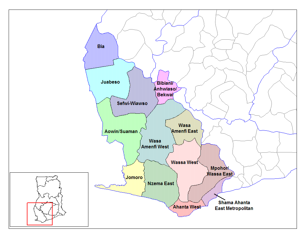
from en:districts of ghana Map of the districts of the Western region of Ghana. Created by Rarelibra for public domain use. Created using MapInfo Professional v7.5 and various mapping resources.
I, the creator of this work, hereby release it into the public domain. This applies worldwide. In case this is not legally possible, I grant any entity the right to use this work for any purpose, without any conditions, unless such conditions are required by law.
* (del) (cur) 08:09, 5 March 2006 . . Rarelibra (Talk | contribs) . . 1056x816 (45,897 bytes) (Map of the districts of the Western region of Ghana. Created by Rarelibra for public domain use. Created using MapInfo Professional v7.5 and various mapping resources.)
Created by Rarelibra for public domain use
许可协议
| 我,本作品著作权人,释出本作品至公有领域。这适用于全世界。 在一些国家这可能不合法;如果是这样的话,那么: 我无条件地授予任何人以任何目的使用本作品的权利,除非这些条件是法律规定所必需的。 |
文件历史
点击某个日期/时间查看对应时刻的文件。
| 日期/时间 | 缩略图 | 大小 | 用户 | 备注 | |
|---|---|---|---|---|---|
| 当前 | 2006年6月28日 (三) 14:04 | | 1,056 × 816(45 KB) | Ahanta | from en:districts of ghana Map of the districts of the Western region of Ghana. Created by Rarelibra for public domain use. Created using MapInfo Professional v7.5 and various mapping resources. I, the creator of this work, hereby release it into the pub |
文件用途
没有页面链接到本图像。
全域文件用途
以下其他wiki使用此文件:
- ca.wikipedia.org上的用途
- ceb.wikipedia.org上的用途
- dag.wikipedia.org上的用途
- de.wikipedia.org上的用途
- en.wikipedia.org上的用途
- Aowin/Suaman District
- Shama Ahanta East Metropolitan District
- Wassa West District
- User talk:Rarelibra/Maps2
- List of hospitals in Ghana
- Bia District
- List of Ghana Parliament constituencies
- User:GerardM/Districts of Ghana
- Mpohor/Wassa East District
- Wassa Amenfi District
- Juaboso-Bodi District
- Juaboso-Bia District
- Nzema District
- Sekondi Takoradi Metropolitan Authority
- Wassa-Fiase-Mpohor District
- Aowin-Amenfi District
- Sefwi-Bibiani District
- eo.wikipedia.org上的用途
- es.wikipedia.org上的用途
- fa.wikipedia.org上的用途
- frr.wikipedia.org上的用途
- fr.wikipedia.org上的用途
- gpe.wikipedia.org上的用途
- ha.wikipedia.org上的用途
- it.wikipedia.org上的用途
- ja.wikipedia.org上的用途
- ko.wikipedia.org上的用途
- la.wikipedia.org上的用途
- nl.wikipedia.org上的用途
- pl.wikipedia.org上的用途
查看本文件的更多全域用途。