File:Wfm yerba buena treasure islands usgs.jpg
本预览的尺寸:448 × 599像素。 其他分辨率:179 × 240像素 | 359 × 480像素 | 861 × 1,152像素。
原始文件 (861 × 1,152像素,文件大小:532 KB,MIME类型:image/jpeg)
摘要
| 描述 |
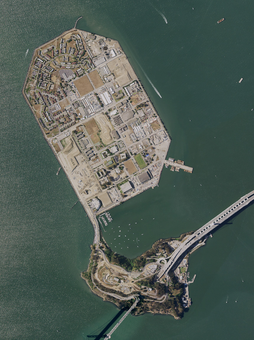
English: Treasure Island and Yerba Buena island, and the San Francisco Bay Bridge, in San Francisco Bay, California. USDA aerial photograph montage. |
| 日期 | 2021年10月27日 (上传日期) |
| 来源 | Satellite imagery taken from USDA's NAIP |
| 作者 | USDA |
许可协议
此作品在美国属于公有领域,因为其是由美国政府的官员或雇员,基于其个人公务目的制作的作品,参考美国法典第17篇第1章第105条。
注意︰本模板仅适用于美国联邦政府的原创作品,不适用于任何美国州、属地、联邦个体、县、市或任何次级政府的作品。本模板也不适用于1978年以后由美国邮政署出版的邮票图案(参看美国版权局实践纲领第313.6(C)(1)条)。也不适用于部分美国硬币;参看美国铸币局使用条款。 |
 | |
| 本文件已被确认为免除已知的著作权法限制(包括所有相关权利)。 | ||
文件历史
点击某个日期/时间查看对应时刻的文件。
| 日期/时间 | 缩略图 | 大小 | 用户 | 备注 | |
|---|---|---|---|---|---|
| 当前 | 2021年10月27日 (三) 16:12 | | 861 × 1,152(532 KB) | 9yz | New NAIP imagery from 2020 |
| 2005年8月1日 (一) 11:54 |  | 948 × 1,280(217 KB) | Finlay McWalter | Treasure Island and Yerba Buena island, and the San Francisco Bay Bridge, in San Francisco Bay, California. USGS aerial photograph montage. Made using NASA World Wind. {{PD-USGov-USGS}} category:maps |
文件用途
以下页面使用本文件:
全域文件用途
以下其他wiki使用此文件:
- bg.wikipedia.org上的用途
- ceb.wikipedia.org上的用途
- de.wikipedia.org上的用途
- en.wikipedia.org上的用途
- en.wikivoyage.org上的用途
- es.wikipedia.org上的用途
- et.wikipedia.org上的用途
- fr.wikipedia.org上的用途
- is.wikipedia.org上的用途
- nl.wikipedia.org上的用途
- ru.wikipedia.org上的用途
- th.wikipedia.org上的用途
- www.wikidata.org上的用途