File:Map elk chase kansas.jpg
没有更高的分辨率。
Map_elk_chase_kansas.jpg (499 × 397像素,文件大小:63 KB,MIME类型:image/jpeg)
摘要
| 描述 |
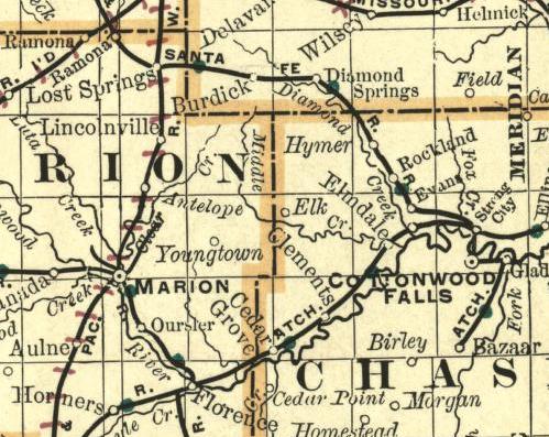
English: Part of a map of Kansas. Showing the ghost town Elk on the border between Chase County and Marion County. Image from an 1893 Map. |
| 日期 | |
| 来源 | http://alabamamaps.ua.edu/historicalmaps/us_states/kansas/index.html |
| 作者 | Chicago: Rand Mcnally and Company's Enlarged Business Atlas and Shippers |
许可协议
|
|
 | |
 |
文件历史
点击某个日期/时间查看对应时刻的文件。
| 日期/时间 | 缩略图 | 大小 | 用户 | 备注 | |
|---|---|---|---|---|---|
| 当前 | 2009年6月25日 (四) 09:57 | | 499 × 397(63 KB) | Polargeo | {{Information |Description={{en|1=Part of a map of Kansas. Showing the ghost town Elk on the border between Chase County and Marion County. Image from an 1893 Map.}} |Source=http://alabamamaps.ua.edu/historicalmaps/us_states/kansas/index.html |Author=Chic |
文件用途
以下页面使用本文件:
全域文件用途
以下其他wiki使用此文件:
- ar.wikipedia.org上的用途
- en.wikipedia.org上的用途
- fa.wikipedia.org上的用途
- ja.wikipedia.org上的用途
- simple.wikipedia.org上的用途
- www.wikidata.org上的用途