描述Chiesa di S.Michele in Isola, north exposure.jpg
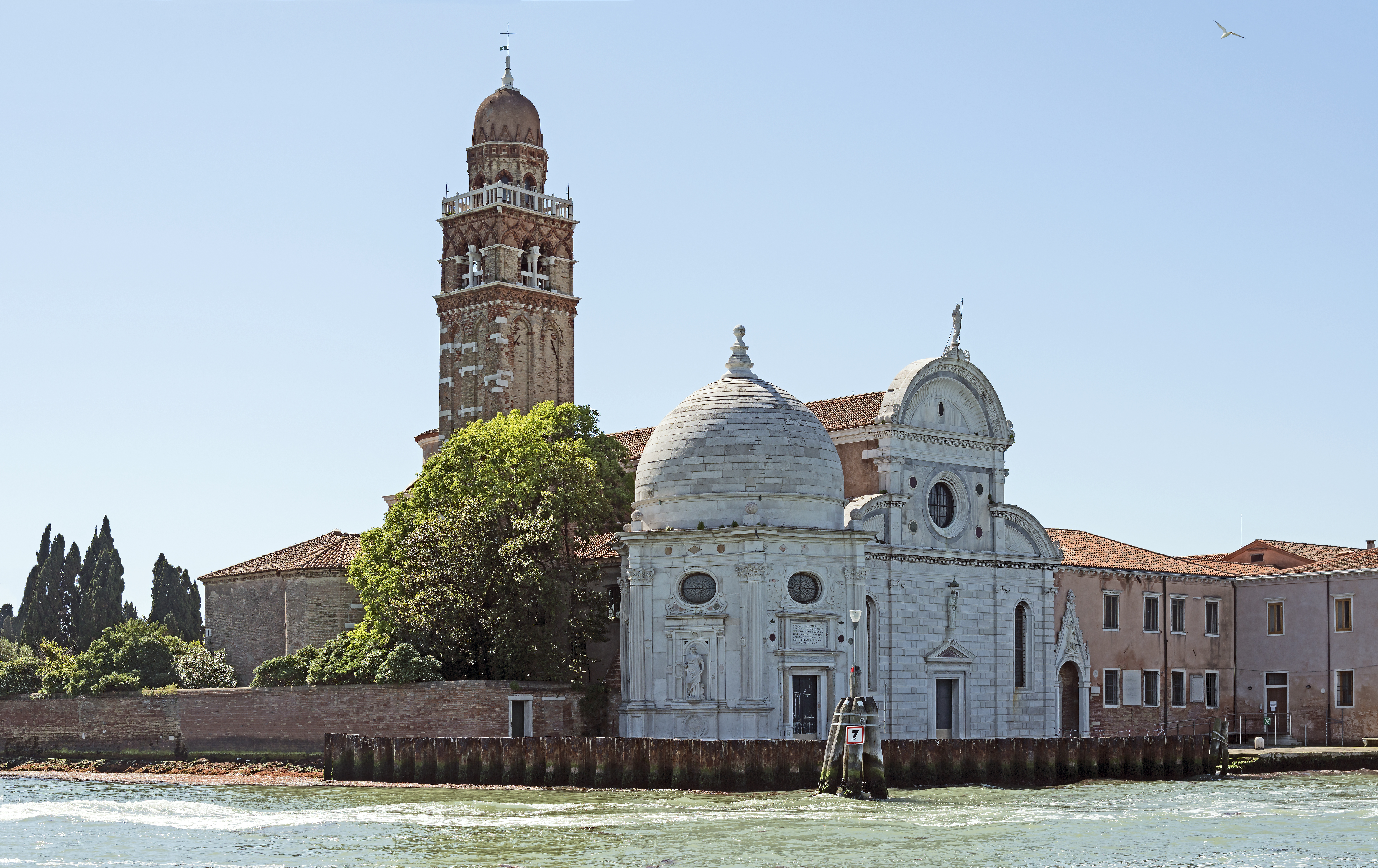
English: San Michele in Isola in Venice. First building renaissance of the lagoon it is due to the architect Mauro Codussi. On the right side of the facade the Cappella Emiliana' 'hexagonal surmounted by a cupola, was built by Guglielmo dei Grigi says Guglielmo Bergamasco between 1528 and 1543.
Français : Église San Michele in Isola à Venise. Premier édifice renaissance de la lagune elle est due à l'architecte Mauro Codussi. Sur le côté droit de la façade la Cappella Emiliana, de forme hexagonale surmontée d'une coupole, a été construite par Guglielmo dei Grigi, dit Guglielmo Bergamasco entre 1528 et 1543.
Italiano: Chiesa di San Michele in Isola Venezia. Primo edificio rinascimentale della laguna è dovuta all'architetto Mauro Codussi. Sul lato destro della facciata della Cappella Emiliana esagonale sormontato da una cupola, è stato costruito da Guglielmo dei Grigi dice Guglielmo Bergamasco tra il 1528 e il 1543.
This file is copyrighted and has been released under a license which is incompatible with Facebook's licensing terms. It is not permitted to upload this file at Facebook.


