File:Germany Saxony-Anhalt rel location map.svg

原始檔案 (SVG 檔案,表面大小:919 × 1,130 像素,檔案大小:2.05 MB)
摘要
| 描述 |
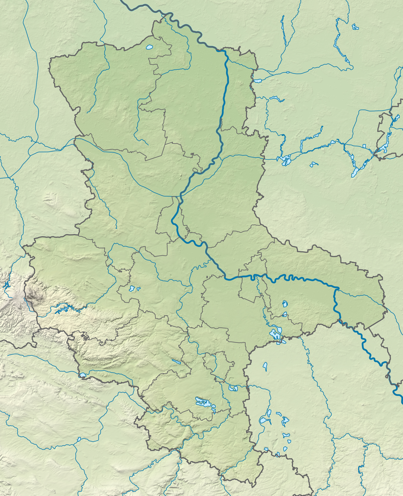
Deutsch: Positionskarte von Sachsen-Anhalt, Deutschland
English: Location map of Saxony-Anhalt, Germany
|
||||||||||||
| 日期 | |||||||||||||
| 來源 |
個人作品,使用:
|
||||||||||||
| 作者 | NordNordWest | ||||||||||||
| 其他版本 |
|
||||||||||||


|
|
授權條款
Usage of this file with:

explanatory notes: Legally binding is only the full legalcode. For a free usage I recommend to respect the following licence conditions:
1. Provide my name as given above: NordNordWest,
2. a copy of, or the URI for, the applicable license: https://creativecommons.org/licenses/by-sa/3.0/de/legalcode,
3. the title of the work,
4. in the case of an adaptation, a credit identifying the use of the work in the adaptation.
This license and the rights granted hereunder will terminate automatically upon any breach by you of the terms of this license. Any of the above conditions can be waived if you get permission from the copyright holder. If you have questions or wish differing conditions, please contact me through nnwest or my discussion page ![]() t-online.de
t-online.de
- 您可以自由:
- 分享 – 複製、發佈和傳播本作品
- 重新修改 – 創作演繹作品
- 惟需遵照下列條件:
- 姓名標示 – 您必須指名出正確的製作者,和提供授權條款的連結,以及表示是否有對內容上做出變更。您可以用任何合理的方式來行動,但不得以任何方式表明授權條款是對您許可或是由您所使用。
- 相同方式分享 – 如果您利用本素材進行再混合、轉換或創作,您必須基於如同原先的相同或兼容的條款,來分布您的貢獻成品。

檔案歷史
點選日期/時間以檢視該時間的檔案版本。
| 日期/時間 | 縮圖 | 尺寸 | 使用者 | 備註 | |
|---|---|---|---|---|---|
| 目前 | 2019年1月28日 (一) 12:17 | | 919 × 1,130(2.05 MB) | NordNordWest | == {{int:filedesc}} == {{Information |description= {{de|1=Positionskarte von Sachsen-Anhalt, Deutschland}} {{en|1=Location map of Saxony-Anhalt, Germany}} {{Location map series N |stretching=162 |top=53.1|bottom=50.9 |left=10.4 |right=13.3 }} |source={{Own using}} * [http://www.geodatenzentrum.de/geodaten/gdz_rahmen.gdz_div?gdz_spr=deu&gdz_akt_zeile=5&gdz_anz_zeile=1&gdz_unt_zeile=2&gdz_user_id=0 Digitales Landschaftsmodell 1:1.000.000]: © GeoBasis-DE / [http://www.bkg.bund.de BKG] 2018 (Date... |
檔案用途
下列頁面有用到此檔案:
全域檔案使用狀況
以下其他 wiki 使用了這個檔案:
- an.wikipedia.org 的使用狀況
- de.wikipedia.org 的使用狀況
- Magdeburger Börde
- Teufelsmauer (Harz)
- Burg Regenstein
- Rappbode-Talsperre
- Burg Falkenstein (Harz)
- Burg Westerburg
- Talsperre Zillierbach
- Burg Wettin
- Arendsee (See)
- Rudelsburg
- Geiseltalsee
- Großer Goitzschesee
- Fernsehturm Dequede
- Talsperre Kelbra
- Eckartsburg
- Burg Saaleck
- Pfalz Tilleda
- Burg Giebichenstein
- Talsperre Wendefurth
- Burg Arnstein
- Burg Landsberg (Sachsen-Anhalt)
- Drömling
- Süßer See
- Großer Silberberg
- Burg Klötze
- Burg Schönburg (Schönburg)
- Schloss Mansfeld
- Pechauer See
- Neustädter See (Magdeburg)
- Burg Krosigk
- Burg Schraplau
- Flechtinger Höhenzug
- Wolfsklippen
- Talsperre Königshütte
- Talsperre Wippra
- Muldestausee
- Petersberg (bei Halle)
- Mandelholztalsperre
- Burg Freckleben
- Burg Stapelburg
- Königsberg (Brocken)
- Heinrichshöhe
- Großer Auerberg
- Schloss Wernigerode
- Schulenburg (Altmark)
- Goliath (Funk)
- Barleber See I
- Hasselvorsperre
檢視此檔案的更多全域使用狀況。