File:SD in SD County map.png

預覽大小:777 × 600 像素。 其他解析度:311 × 240 像素 | 622 × 480 像素 | 995 × 768 像素 | 1,026 × 792 像素。
原始檔案 (1,026 × 792 像素,檔案大小:27 KB,MIME 類型:image/png)
摘要
| 描述 |
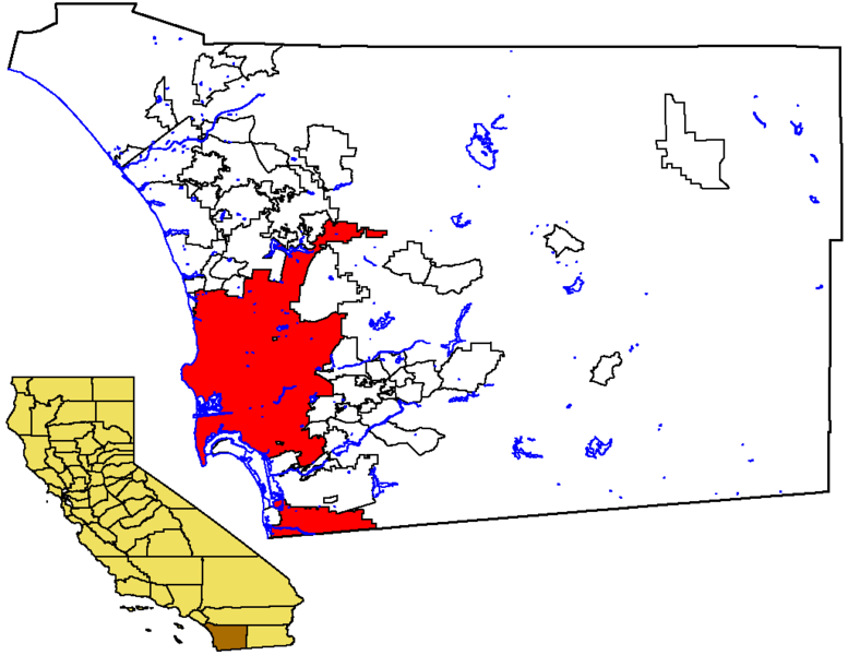
English: Locator map of the City of San Diego — in southwestern San Diego County, Southern California.
|
| 日期 | 2005年11月17日 (原始上傳日期) |
| 來源 | No machine-readable source provided. Own work assumed (based on copyright claims). |
| 作者 | No machine-readable author provided. Otto Normalverbraucher assumed (based on copyright claims). |
授權條款
| 我,此作品的版權所有人,釋出此作品至公共領域。此授權條款在全世界均適用。 這可能在某些國家不合法,如果是的話: 我授予任何人有權利使用此作品於任何用途,除受法律約束外,不受任何限制。 |
檔案歷史
點選日期/時間以檢視該時間的檔案版本。
| 日期/時間 | 縮圖 | 尺寸 | 使用者 | 備註 | |
|---|---|---|---|---|---|
| 目前 | 2005年11月17日 (四) 21:11 | | 1,026 × 792(27 KB) | Otto Normalverbraucher | from the english wikipedia. original description: "Map of the City of San Diego within San Diego County, with County highlighted in California. I created this map from US Census Bureau data. I release it to Public Domain" by first publisher [[:en:User:Ma |
| 2005年11月17日 (四) 21:02 |  | 1,026 × 792(27 KB) | Otto Normalverbraucher | from the english wikipedia. original description: "Map of the City of San Diego within San Diego County, with County highlighted in California. I created this map from US Census Bureau data. I release it to Public Domain" by first publisher [[en:User:Mac |
檔案用途
沒有使用此檔案的頁面。
全域檔案使用狀況
以下其他 wiki 使用了這個檔案:
- ar.wikipedia.org 的使用狀況
- es.wikipedia.org 的使用狀況
- he.wikipedia.org 的使用狀況
- lmo.wikipedia.org 的使用狀況
- pam.wikipedia.org 的使用狀況
- sc.wikipedia.org 的使用狀況
- sk.wikipedia.org 的使用狀況
- vi.wikipedia.org 的使用狀況