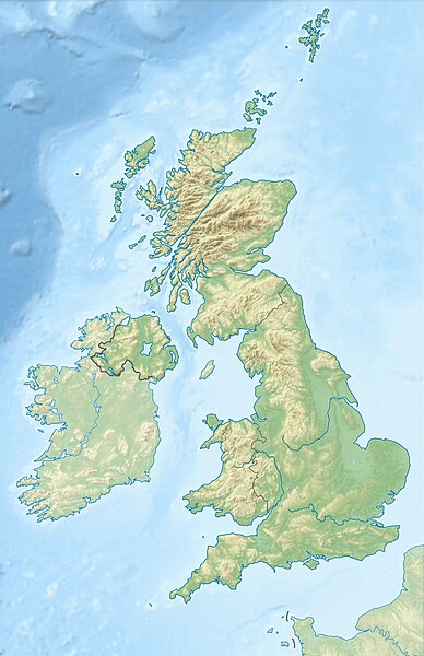
File:United Kingdom relief location map.jpg

預覽大小:388 × 600 像素。 其他解析度:155 × 240 像素 | 310 × 480 像素 | 497 × 768 像素 | 662 × 1,024 像素 | 1,348 × 2,083 像素。
原始檔案 (1,348 × 2,083 像素,檔案大小:831 KB,MIME 類型:image/jpeg)
檔案歷史
點選日期/時間以檢視該時間的檔案版本。
| 日期/時間 | 縮圖 | 尺寸 | 使用者 | 備註 | |
|---|---|---|---|---|---|
| 目前 | 2012年6月17日 (日) 18:13 |  | 1,348 × 2,083(831 KB) | Alexrk2 | inland water |
| 2012年6月17日 (日) 18:12 |  | 1,354 × 2,090(829 KB) | Alexrk2 | == {{int:filedesc}} == {{Information |Description= {{de|Positionskarte des Vereinigten Königreichs}} Quadratische Plattkarte, N-S-Streckung 170 %. Geographische Begrenzung der Karte: * N: 61.0° N * S: 49.0° N * W: 11.... |
檔案用途
下列23個頁面有用到此檔案:
- 利物浦海事商城
- 多佛惨案
- 巴德明顿庄园
- 巴斯建筑
- 布莱纳文
- 德文特河谷工業區
- 德比
- 戈斯波特
- 桑德灵厄姆宫
- 约克郡谷地
- 罗素大学集团
- 聖島 (威爾斯)
- 諾森伯蘭國家公園
- 达特穆尔
- 金三角名校
- User:Sean Kyo
- Template:Infobox earthquake/testcases
- Template:Location map
- Template:Location map/doc
- Template:Location map/sandbox
- Template:Location map/testcases
- Template:Location map United Kingdom
- Template talk:Location map
全域檔案使用狀況
以下其他 wiki 使用了這個檔案:
- ab.wikipedia.org 的使用狀況
- ar.wikipedia.org 的使用狀況
- arz.wikipedia.org 的使用狀況
- ast.wikipedia.org 的使用狀況
- azb.wikipedia.org 的使用狀況
- az.wikipedia.org 的使用狀況
- Şablon:Yer xəritəsi Böyük Britaniya
- İrland dənizi
- Ben Nevis
- Pa-de-Kale boğazı
- Şimal boğazı
- Orkney adaları
- Lox Ness
- Arran (ada)
- Fer adası
- Qrampian dağları
- Flanan adaları
- Finqal mağarası
- Hebrid dənizi
- Kelt dənizi
- Menay boğazı
- Nort-Minç boğazı
- Pentlənd-Ferd boğazı
- Yell boğazı
- Lya-Kupe bərzəxi
- Böyük Britaniya (ada)
- Solent
- Leskov adası
- Kernqorms Milli Parkı
- Kembri dağları
- Llin yarımadası
- Ardnamerxan
- Kintayr yarımadası
- Qrinviç yarımadası
- Qauer yarımadası
- Lends End
- Trevos burnu
檢視此檔案的更多全域使用狀況。


