File:Latino Peak.jpg
預覽大小:800 × 500 像素。 其他解析度:320 × 200 像素 | 640 × 400 像素 | 1,200 × 750 像素。
原始檔案 (1,200 × 750 像素,檔案大小:859 KB,MIME 類型:image/jpeg)
摘要
| 描述 |
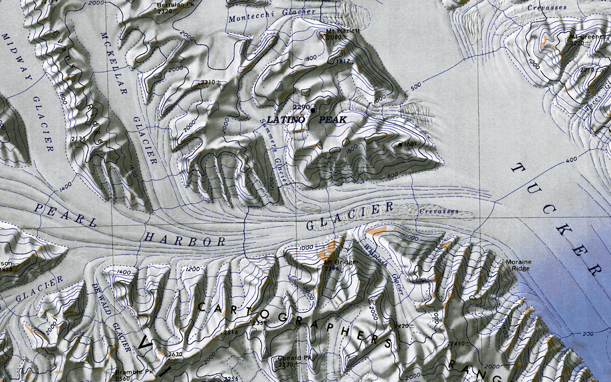
English: Map of Antarctica by the United States Antarctic Resource Center of the US Geological Society. |
| 日期 | (UTC) |
| 來源 |
本檔案衍生自: C72189s1 Ant.Map Cape Hallet.jpg: |
| 作者 |
|
| 這是一張修飾過的圖片,即本圖片是用軟體修改過後的版本,修改的方式或內容有:cropped excerpt of "Latino Peak"。原版圖片來源:C72189s1 Ant.Map Cape Hallet.jpg。修改者:Oae448。
|
授權條款
|
|
 | |
 |
原始上傳日誌
This image is a derivative work of the following images:
- File:C72189s1_Ant.Map_Cape_Hallet.jpg licensed with PD-US
- 2005-04-03T17:40:20Z Achim Raschka 3860x3250 (2369572 Bytes) Map of Antarctica by the United States Antarctic Ressource Center of the US Geological Society. {{PD-US}} Copyrights and Trademarks USGS-authored or produced data and information are in the public domain. While the content o
Uploaded with derivativeFX
檔案歷史
點選日期/時間以檢視該時間的檔案版本。
| 日期/時間 | 縮圖 | 尺寸 | 用戶 | 備註 | |
|---|---|---|---|---|---|
| 目前 | 2012年2月1日 (三) 11:57 | | 1,200 × 750(859 KB) | Oae448 | == {{int:filedesc}} == {{Information |Description=Map of Antarctica by the United States Antarctic Ressource Center of the US Geological Society. |Source={{Derived from|C72189s1_Ant.Map_Cape_Hallet.jpg|display=50}} |Date=2012-02-01 11:47 (UTC) |Author=*[[ |
檔案用途
全域檔案使用狀況
以下其他 wiki 使用了這個檔案:
- ceb.wikipedia.org 的使用狀況
- en.wikipedia.org 的使用狀況
- he.wikipedia.org 的使用狀況
- קרחון אלדר
- קרחון בייקר (אנטארקטיקה)
- פסגת אולדריג'
- הרי ויקטורי
- רכס קרטר
- פסגת בוס
- תבנית:הרי ויקטורי
- רכס בארקר
- קרחון קרול (אנטארקטיקה)
- קרחון טרפלגר
- קרחון טאקר
- רכס הנדלר
- הר ברוסטר (אנטארקטיקה)
- הר הרינגטון (ארץ ויקטוריה)
- קרחון וייטהול
- מפרצון טאקר
- הר נורת'האמפטון (אנטארקטיקה)
- קרחון באוורס
- אוכף טובוגאן
- פסגת ניו ייר (אנטארקטיקה)
- קרחון אינגהם
- קרחון המפריז
- קרחון בר
- קרחון הנד
- קרחון ליין
- קרחון לאנגוואד
- קרחון בארג
- קרחון בורשקרווינק (ארץ ויקטוריה)
- הר פיליפס (אנטארקטיקה)
- קרחון מרינר (אנטארקטיקה)
- רמת מלטה (אנטארקטיקה)
- נונאטאק נלסון (אנטארקטיקה)
- הר אלברטס
- קרחון פרל הארבור
- רכס קרטוגרפים
- קרחון אוסוגה
- הר ברטון (אנטארקטיקה)
- רכס קלאפ (אנטארקטיקה)
- קרחון הירפילד
- פסגת קולינס (אנטארקטיקה)
- קרחון קולסטון
- קרחון אולסון
- קרחון ווד (אנטארקטיקה)
- קרחון לנסן
- הר פירסון (אנטארקטיקה)
- הר מקדונלד (ארץ ויקטוריה)
- קרחון טריינר
檢視此檔案的更多全域使用狀況。