File:Map highlighting Medina Township, Warren County, Indiana.svg

此 SVG 檔案的 PNG 預覽的大小:512 × 512 像素。 其他解析度:240 × 240 像素 | 480 × 480 像素 | 768 × 768 像素 | 1,024 × 1,024 像素 | 2,048 × 2,048 像素。
原始檔案 (SVG 檔案,表面大小:512 × 512 像素,檔案大小:115 KB)
摘要
| 描述 |
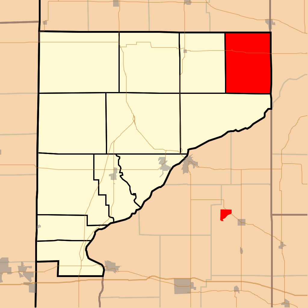
English: This is a map of Warren County, Indiana, USA which highlights the location of Medina Township. |
| 日期 | |
| 來源 | My own work, using freely-available TIGER data and custom-written MapScript applications |
| 作者 | Omnedon |
授權條款
| 我,此作品的版權所有人,釋出此作品至公共領域。此授權條款在全世界均適用。 這可能在某些國家不合法,如果是的話: 我授予任何人有權利使用此作品於任何用途,除受法律約束外,不受任何限制。 |
檔案歷史
點選日期/時間以檢視該時間的檔案版本。
| 日期/時間 | 縮圖 | 尺寸 | 用戶 | 備註 | |
|---|---|---|---|---|---|
| 目前 | 2016年1月2日 (六) 16:41 | | 512 × 512(115 KB) | Omnedon | State map inset |
| 2008年1月27日 (日) 04:21 |  | 512 × 512(41 KB) | File Upload Bot (Omnedon) | == Summary == {{Information |Description={{en|This is a map of Warren County, Indiana, USA which highlights the location of Medina Township.}} |Source=My own work, using freely-available TIGER data and custom-written MapScript applications |Date=2008-01- | |
| 2007年11月24日 (六) 19:29 |  | 512 × 512(36 KB) | File Upload Bot (Omnedon) | == Summary == {{Information |Description={{en|This is a map of Warren County, Indiana, USA which highlights the location of Medina Township.}} |Source=My own work, using freely-available TIGER data and custom-written MapScript applications |Date=2007-11- |
檔案用途
下列頁面有用到此檔案:
全域檔案使用狀況
以下其他 wiki 使用了這個檔案:
- en.wikipedia.org 的使用狀況
- es.wikipedia.org 的使用狀況
- eu.wikipedia.org 的使用狀況
- ur.wikipedia.org 的使用狀況
- vi.wikipedia.org 的使用狀況
- www.wikidata.org 的使用狀況