File:SantaCatarina MesoMicroMunicip.svg

此 SVG 檔案的 PNG 預覽的大小:800 × 535 像素。 其他解析度:320 × 214 像素 | 640 × 428 像素 | 1,024 × 685 像素 | 1,280 × 856 像素 | 2,560 × 1,711 像素 | 1,481 × 990 像素。
原始檔案 (SVG 檔案,表面大小:1,481 × 990 像素,檔案大小:662 KB)

|
Standardization of derivative maps
Feel free to create derivations of this work, but if you want to illustrate a Wikipedia article with derivative works of this or similar maps of Brazil, please strictly follow the visual standard, nomenclature and classification already in use. All maps of Brazilian subdivisions are being adaptated or created in this way. We do not want to inhibit creativity but the pattern adopted here was presented and accepted by the Lusophone community and should be followed whenever possible. |
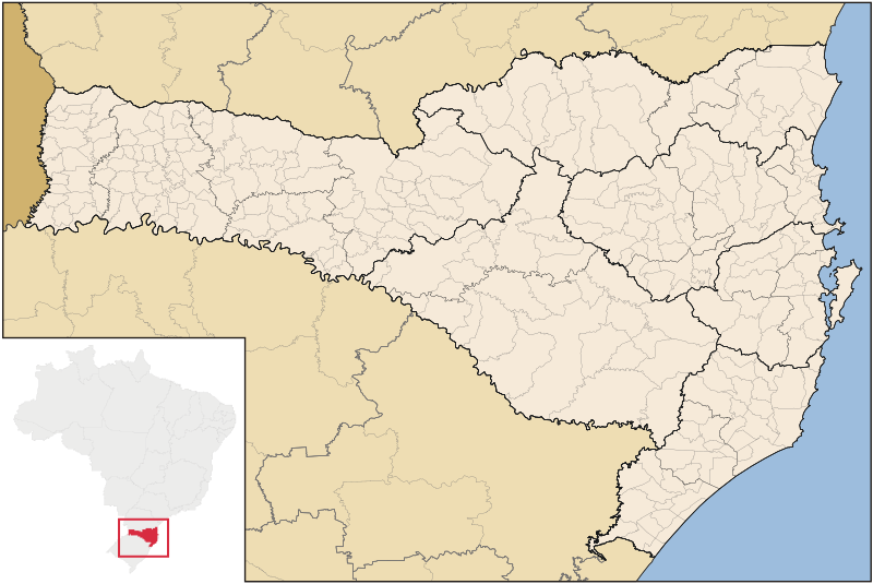
| 描述 | Map of Santa Catarina state |
| 日期 | |
| 來源 | 自己的作品 |
| 作者 | Raphael Lorenzeto de Abreu |
| 授權許可 (重用此檔案) |
我,本作品的著作權持有者,決定用以下授權條款發佈本作品: 此檔案採用共享創意 姓名標示-相同方式分享 3.0 未在地化版本授權條款。
|
| 其他版本 | Derivative works of this file: Brazil Santa Catarina location map.svg |
檔案歷史
點選日期/時間以檢視該時間的檔案版本。
| 日期/時間 | 縮圖 | 尺寸 | 用戶 | 備註 | |
|---|---|---|---|---|---|
| 目前 | 2006年9月8日 (五) 04:52 | | 1,481 × 990(662 KB) | Raphael.lorenzeto | |
| 2006年6月2日 (五) 10:47 |  | 943 × 691(613 KB) | Raphael.lorenzeto | {{User:Raphael.lorenzeto/DerivativeMaps}} {{Information| |Description=Map of Santa Catarina state |Source=own work |Date=June, 2 2006 |Author=Raphael Lorenzeto de Abreu |Permission={{self2|GFDL|cc-by-2.5}} |other_versions= }} [[Category:Maps of Santa Cata |
檔案用途
下列7個頁面有用到此檔案:
全域檔案使用狀況
以下其他 wiki 使用了這個檔案:
- br.wikipedia.org 的使用狀況
- eo.wikipedia.org 的使用狀況
- es.wikipedia.org 的使用狀況
- et.wikipedia.org 的使用狀況
- fi.wikipedia.org 的使用狀況
- fr.wikipedia.org 的使用狀況
- oc.wikipedia.org 的使用狀況
- Florianópolis
- Joinville (Santa Catarina)
- Balneário Camboriú
- Blumenau
- Itajaí
- Araranguá
- Biguaçu
- Chapecó
- Criciúma
- Abdon Batista (Santa Catarina)
- Abelardo Luz
- Agrolândia
- Agronômica
- Alfredo Wagner
- Alto Bela Vista
- Anchieta (Santa Catarina)
- Angelina (Santa Catarina)
- Anita Garibaldi (Santa Catarina)
- Anitápolis
- Antônio Carlos (Santa Catarina)
- Apiúna
- Arabutã
- Araquari
- Armazém (Santa Catarina)
- Arroio Trinta
- Arvoredo
- Ascurra
- Aurora (Santa Catarina)
- Balneário Arroio do Silva
- Balneário Barra do Sul
- Balneário Gaivota
- Balneário Piçarras
- Bandeirante (Santa Catarina)
- Barra Bonita (Santa Catarina)
- Barra Velha
- Bela Vista do Toldo
檢視此檔案的更多全域使用狀況。