File:Bir Tawil 250 txu-oclc-6594739-nf36-11.jpg

本预览的尺寸:791 × 599像素。 其他分辨率:317 × 240像素 | 634 × 480像素 | 1,014 × 768像素 | 1,280 × 970像素 | 2,560 × 1,940像素 | 4,600 × 3,486像素。
原始文件 (4,600 × 3,486像素,文件大小:5.35 MB,MIME类型:image/jpeg)
摘要
| 描述 |
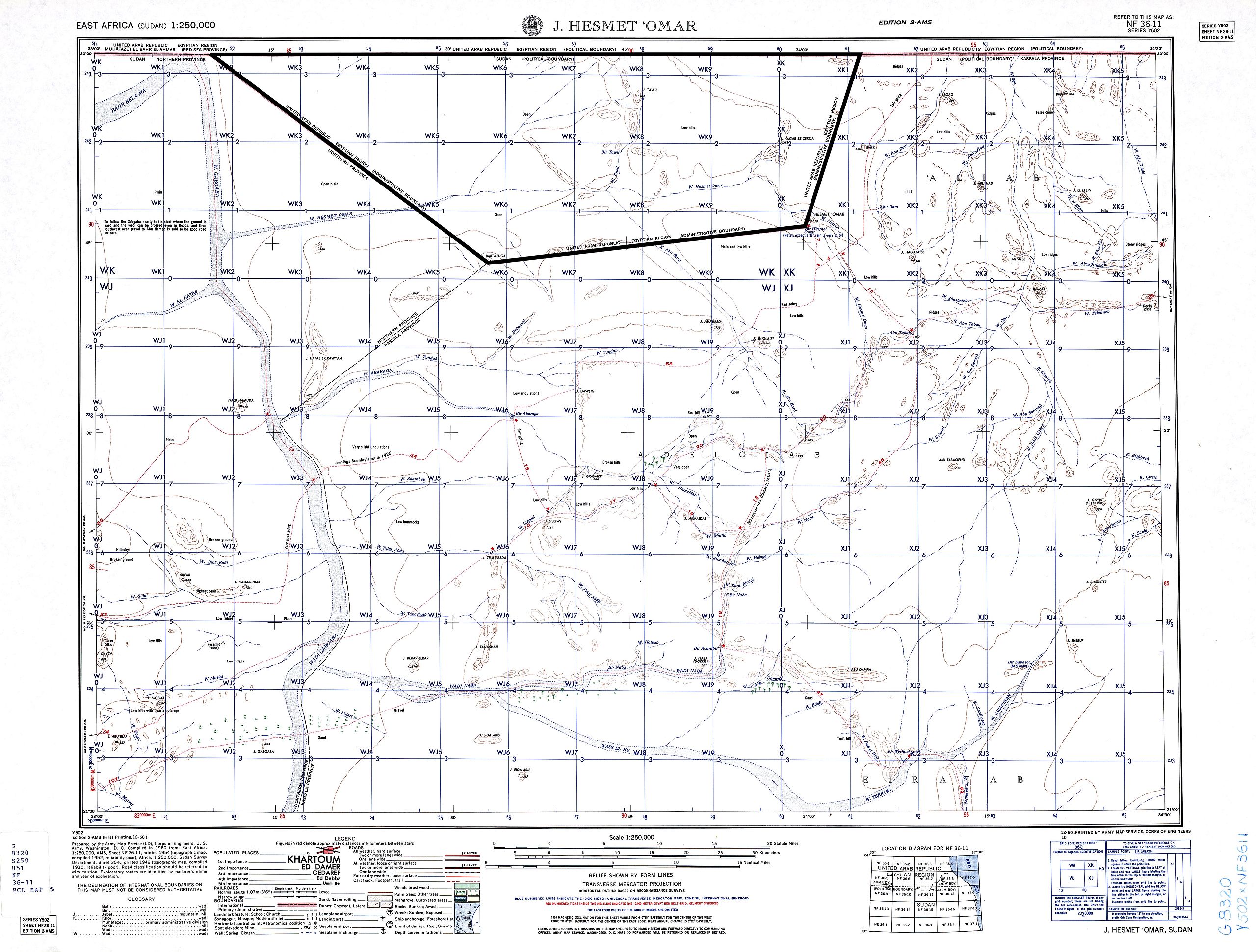
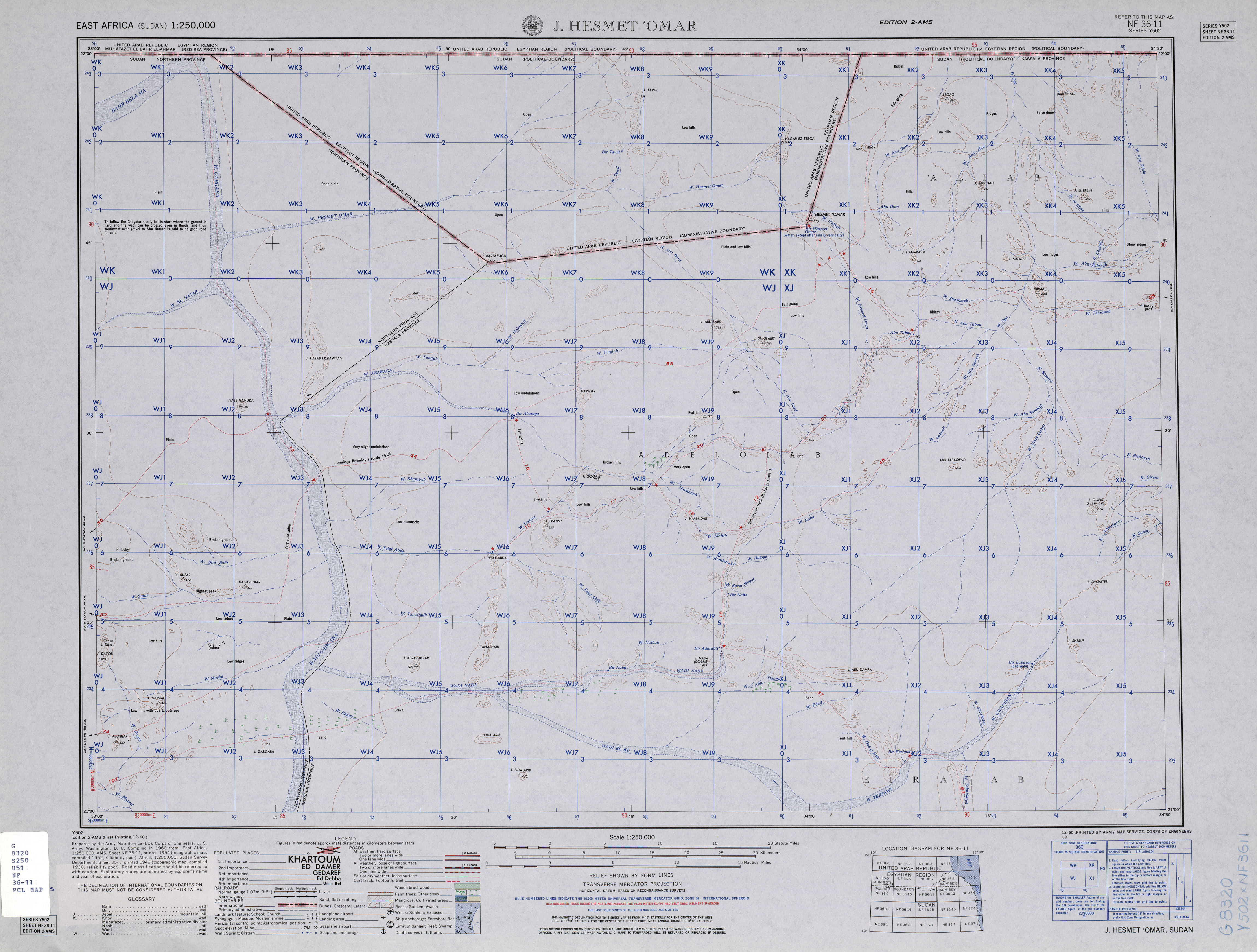
English: map of Bir Tawil area, Southern Egypt / Northern Sudan (no man's land) and area of northern Sudan to the south of it |
| 日期 | |
| 来源 | http://www.lib.utexas.edu/maps/ams/east_africa/txu-oclc-6594739-nf36-11.jpg |
| 作者 | Army Map Service, Corps of Engineers, U.S. Army |
许可协议
|
|
 |
文件历史
点击某个日期/时间查看对应时刻的文件。
| 日期/时间 | 缩略图 | 大小 | 用户 | 备注 | |
|---|---|---|---|---|---|
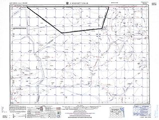
| 当前 | 2015年9月20日 (日) 13:15 | | 4,600 × 3,486(5.35 MB) | Iaroslavvs | quadrangle (i.e. Bir Tawil's) boundaries highlighted |
| 2013年12月29日 (日) 13:52 |  | 4,600 × 3,486(3 MB) | JasonAQuest | better contrast | |
| 2010年11月4日 (四) 14:17 |  | 4,600 × 3,486(2.84 MB) | Thoroe | grey -> white | |
| 2010年5月29日 (六) 22:45 |  | 4,600 × 3,486(2.8 MB) | Ratzer | {{Information |Description={{en|1=map of Bir Tawil area, Southern Egypt / Northern Sudan (no man's land) and area of northern Sudan to the south of it}} |Source=http://www.lib.utexas.edu/maps/ams/east_africa/txu-oclc-6594739-nf36-11.jpg |Author=Army Map S |
文件用途
以下页面使用本文件:
全域文件用途
以下其他wiki使用此文件:
- ar.wikipedia.org上的用途
- az.wikipedia.org上的用途
- bg.wikipedia.org上的用途
- de.wikipedia.org上的用途
- el.wikipedia.org上的用途
- fi.wikipedia.org上的用途
- hy.wikipedia.org上的用途
- it.wikipedia.org上的用途
- ja.wikivoyage.org上的用途
- ru.wikipedia.org上的用途
- sr.wikipedia.org上的用途
- uk.wikipedia.org上的用途