File:City Skyline, Marina Bay, Singapore (3278052940).jpg

預覽大小:799 × 599 像素。 其他解析度:320 × 240 像素 | 640 × 480 像素 | 1,024 × 768 像素 | 1,280 × 960 像素 | 2,560 × 1,921 像素 | 3,027 × 2,271 像素。
原始檔案 (3,027 × 2,271 像素,檔案大小:1.65 MB,MIME 類型:image/jpeg)
.jpg?uselang=zh-tw)
.jpg?uselang=zh-tw)
.jpg?action=history&uselang=zh-tw)
.jpg)
摘要
| 描述 | In Apr/May 2009, I took 15 days to walk all the way from Tokyo to Kyoto, roughly following the 546km long, ancient highway, the Nakasendo, alone. This picture is one of the test shots I took with a camera I bought just for the long solo walk. Read about my preparations and my time in Japan at 546km.blogspot.com. |
| 日期 | |
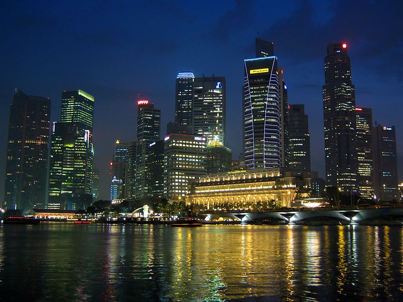
| 來源 | City Skyline, Marina Bay, Singapore |
| 作者 | yeowatzup |
| 拍攝地點 | | 位於此地的本圖片與其他圖片: OpenStreetMap |
|---|
.jpg¶ms=001.289969_N_0103.855347_E_globe:Earth_type:camera_source:Flickr_&language=zh-tw)
授權條款
此檔案採用創用CC 姓名標示 2.0 通用版授權條款。
- 您可以自由:
- 分享 – 複製、發佈和傳播本作品
- 重新修改 – 創作演繹作品
- 惟需遵照下列條件:
- 姓名標示 – 您必須指名出正確的製作者,和提供授權條款的連結,以及表示是否有對內容上做出變更。您可以用任何合理的方式來行動,但不得以任何方式表明授權條款是對您許可或是由您所使用。
| This image, originally posted to Flickr, was reviewed on 8 February 2013 by the administrator or reviewer File Upload Bot (Magnus Manske), who confirmed that it was available on Flickr under the stated license on that date. |
檔案歷史
點選日期/時間以檢視該時間的檔案版本。
| 日期/時間 | 縮圖 | 尺寸 | 使用者 | 備註 | |
|---|---|---|---|---|---|
| 目前 | 2013年2月8日 (五) 12:55 | | 3,027 × 2,271(1.65 MB) | File Upload Bot (Magnus Manske) | Transferred from Flickr by User:russavia |
檔案用途
沒有使用此檔案的頁面。
.jpg)