File:Ehpdistricts.svg

此 SVG 檔案的 PNG 預覽的大小:547 × 600 像素。 其他解析度:219 × 240 像素 | 438 × 480 像素 | 700 × 768 像素 | 934 × 1,024 像素 | 1,868 × 2,048 像素 | 840 × 921 像素。
原始檔案 (SVG 檔案,表面大小:840 × 921 像素,檔案大小:60 KB)
檔案歷史
點選日期/時間以檢視該時間的檔案版本。
| 日期/時間 | 縮圖 | 尺寸 | 使用者 | 備註 | |
|---|---|---|---|---|---|
| 目前 | 2007年7月12日 (四) 06:11 | | 840 × 921(60 KB) | Aliasd | |
| 2007年7月11日 (三) 17:42 |  | 840 × 921(42 KB) | Aliasd | ||
| 2007年7月7日 (六) 11:21 |  | 580 × 636(27 KB) | Aliasd | ||
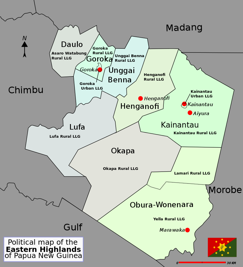
| 2007年6月29日 (五) 07:48 |  | 580 × 636(20 KB) | Aliasd | {{Information |Description=District map of Papua New Guinea |Source=self-made |Date=2007 |Author= Alaisd }} | |
| 2007年6月29日 (五) 07:47 |  | 580 × 636(20 KB) | Aliasd | {{Information |Description=District map of Papua New Guinea |Source=self-made |Date=2007 |Author= Alaisd }} |
檔案用途
下列頁面有用到此檔案:
全域檔案使用狀況
以下其他 wiki 使用了這個檔案:
- als.wikipedia.org 的使用狀況
- de.wikipedia.org 的使用狀況
- en.wikipedia.org 的使用狀況
- Eastern Highlands Province
- Local-level governments of Papua New Guinea
- Districts of Papua New Guinea
- User:Aliasd/Images/Maps
- Wild man syndrome
- Goroka Urban LLG
- Kainantu Urban LLG
- Watabung Rural LLG
- Lower Asaro Rural LLG
- Upper Asaro Rural LLG
- Gahuku Rural LLG
- Mimanalo Rural LLG
- Kafentina Rural LLG
- Dunantina Rural LLG
- Fayantina Rural LLG
- Kamano No. 1 Rural LLG
- Kamano No. 2 Rural LLG
- Agarabi Rural LLG
- Gadsup/Tairora Rural LLG
- Yagaria Rural LLG
- Mount Michael Rural LLG
- Unavi Rural LLG
- Lamari Rural LLG
- Yelia Rural LLG
- East Okapa Rural LLG
- West Okapa Rural LLG
- Lower Benna Rural LLG
- Upper Benna Rural LLG
- Unggai Rural LLG
- fa.wikipedia.org 的使用狀況
- fr.wikipedia.org 的使用狀況
- gl.wikipedia.org 的使用狀況
- it.wikipedia.org 的使用狀況
- ko.wikipedia.org 的使用狀況
- nl.wikipedia.org 的使用狀況
- pl.wikipedia.org 的使用狀況
- uk.wikipedia.org 的使用狀況