File:Ethiopia relief location map.jpg

預覽大小:740 × 600 像素。 其他解析度:296 × 240 像素 | 592 × 480 像素 | 947 × 768 像素 | 1,263 × 1,024 像素 | 1,966 × 1,594 像素。
原始檔案 (1,966 × 1,594 像素,檔案大小:709 KB,MIME 類型:image/jpeg)
| 描述 |
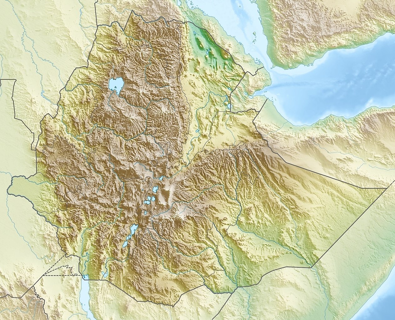
Deutsch: Physische Positionskarte von Äthiopien
Quadratische Plattkarte, N-S-Streckung 102 %. Geographische Begrenzung der Karte:
English: Physical location map of Ethiopia
Equirectangular projection, N/S stretching 102 %. Geographic limits of the map:
|
| 日期 | |
| 來源 | 自己的作品, using map data from administrative map by NordNordWest. The relief was created from SRTM-30 relief data |
| 作者 | Carport |
| 授權許可 (重用此檔案) |
此檔案採用創用CC 姓名標示-相同方式分享 3.0 未在地化版本授權條款。
|
| 其他版本 |
|

檔案歷史
點選日期/時間以檢視該時間的檔案版本。
| 日期/時間 | 縮圖 | 尺寸 | 使用者 | 備註 | |
|---|---|---|---|---|---|
| 目前 | 2021年10月13日 (三) 15:38 | | 1,966 × 1,594(709 KB) | Gebagebo | Added dotted line to indicate Somaliland |
| 2011年9月29日 (四) 13:57 |  | 1,638 × 1,328(1.12 MB) | NordNordWest | + South Sudan | |
| 2010年3月15日 (一) 17:32 |  | 1,638 × 1,328(1.22 MB) | Carport | {{Information |Description={{de|Physische Positionskarte von {{w|Äthiopien|3=de}}}} Quadratische Plattkarte, N-S-Streckung 102 %. Geographische Begrenzung der Karte: * N: 15.3° N * S: 2.9° N * W: 32.7° O * O: 48.3° O {{en|Physical location map of {{w |
檔案用途
沒有使用此檔案的頁面。
全域檔案使用狀況
以下其他 wiki 使用了這個檔案:
- ar.wikipedia.org 的使用狀況
- arz.wikipedia.org 的使用狀況
- ast.wikipedia.org 的使用狀況
- ban.wikipedia.org 的使用狀況
- bn.wikipedia.org 的使用狀況
- br.wikipedia.org 的使用狀況
- bs.wikipedia.org 的使用狀況
- ca.wikipedia.org 的使用狀況
- ceb.wikipedia.org 的使用狀況
- ce.wikipedia.org 的使用狀況
- ckb.wikipedia.org 的使用狀況
- cs.wikipedia.org 的使用狀況
- Ras Dašen
- Adwa (sopka)
- Národní park Simienské hory
- Erta Ale
- Šablona:LocMap Etiopie
- Afdera
- Wikipedie:WikiProjekt Česko-slovenská Wikipedie/Přeložené články/2014-02/Galerie
- Mount Ayalu
- Alajta
- Asavjo
- Alu (sopka)
- Dalaffilla
- Amajtoli Tärara
- Asdaga
- Bilate Šet
- Bishoftu (sopečné pole)
- Boina (fumarolové pole)
- Bora-Bericcio
- Borale Ale
- Borawli
- Boset-Beriča
- Butadžiri-Silti
- Beru
- Corbetti
- Dabbahu
- Dabbajra
- Dallol (sopka)
檢視此檔案的更多全域使用狀況。