File:Hong Kong Base Map.svg

此 SVG 檔案的 PNG 預覽的大小:800 × 582 像素。 其他解析度:320 × 233 像素 | 640 × 466 像素 | 1,024 × 746 像素 | 1,280 × 932 像素 | 2,560 × 1,864 像素 | 1,607 × 1,170 像素。
原始檔案 (SVG 檔案,表面大小:1,607 × 1,170 像素,檔案大小:46 KB)
| 描述 |
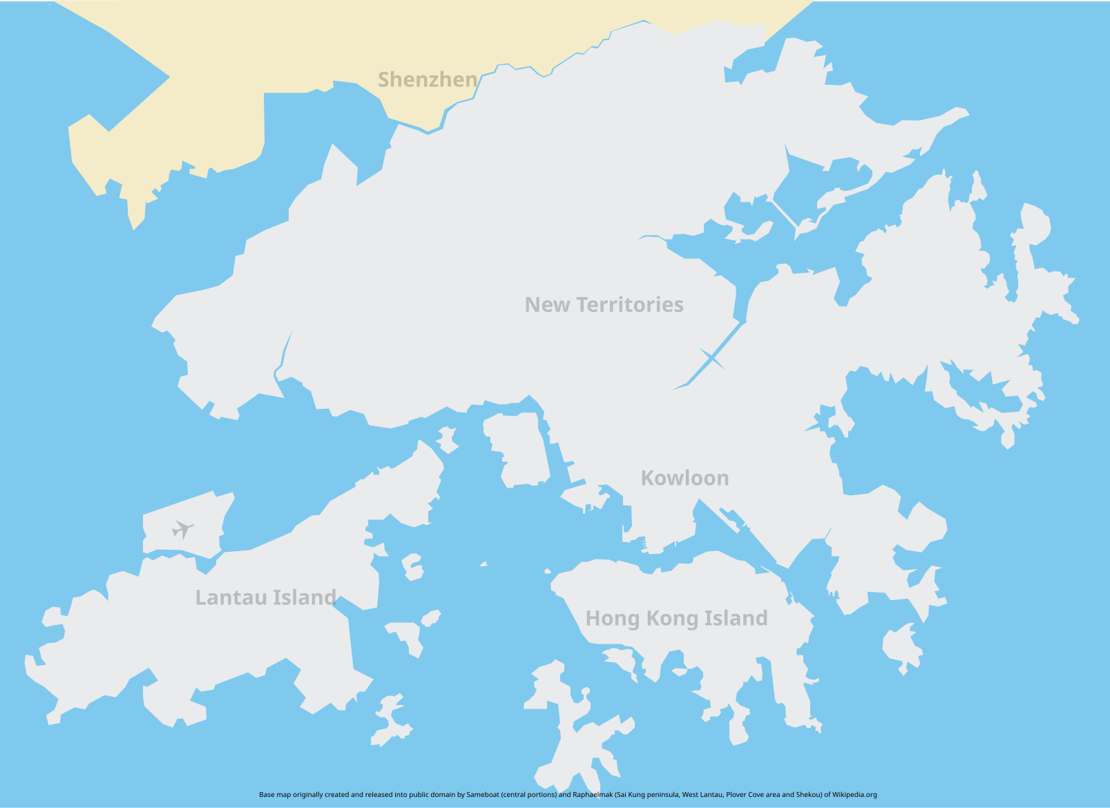
Base map of Hong Kong. The intention of creating such a map is to provide an SVG base map of Hong Kong. Unfortunately the map might not be accurate so if you spot an error feel free to download, correct and reupload it. Some islands are omitted on the map. Feel free to add them in if you think fit. |
||||
| 日期 | |||||
| 來源 | Central portions based on Image:Hong Kong Railway Route Map en.svg, fringe areas self drawn | ||||
| 作者 |
Central portions: Sameboat Fringe areas: Raphaelmak |
||||
| 授權許可 (重用此檔案) |
Central portions:
Fringe areas:
|
檔案歷史
點選日期/時間以檢視該時間的檔案版本。
| 日期/時間 | 縮圖 | 尺寸 | 使用者 | 備註 | |
|---|---|---|---|---|---|
| 目前 | 2013年5月20日 (一) 02:51 | | 1,607 × 1,170(46 KB) | Jc86035 | Fixed the colour of an island |
| 2008年2月17日 (日) 14:23 |  | 1,607 × 1,170(46 KB) | Raphaelmak | Removed two station symbols that stayed on map | |
| 2008年2月17日 (日) 14:18 |  | 1,607 × 1,170(46 KB) | Raphaelmak | {{Information |Description=Base map of Hong Kong. The intention of creating such a map is to provide an SVG base map of Hong Kong. Unfortunately the map might not be accurate so if you spot an error feel free to download, correct and reupload it. |Source= |
檔案用途
沒有使用此檔案的頁面。
全域檔案使用狀況
以下其他 wiki 使用了這個檔案:
- en.wikipedia.org 的使用狀況