File:NATO and the Warsaw Pact 1973.svg

此SVG文件的PNG预览的大小:450 × 456像素。 其他分辨率:237 × 240像素 | 474 × 480像素 | 758 × 768像素 | 1,011 × 1,024像素 | 2,021 × 2,048像素。
原始文件 (SVG文件,尺寸为450 × 456像素,文件大小:478 KB)
摘要


.svg)
.svg)
.svg)
.svg)
.svg)


.svg)
.svg)
.svg)


.png)
.png)


.svg)


.svg)

.svg)


.svg)
.svg)
.svg)
.svg)


.svg)
.png)


.svg)


.svg)
.svg)


.svg)


.svg)


.svg)
.svg)
.svg)
.svg)
.svg)
.svg)
.svg)
_cropped.svg)
.svg)
.svg)
.svg)
.svg)
.svg)
.svg)
.svg)
.svg)
.svg)
.svg)
.svg)
.svg)
.svg)
.svg)
.svg)
.svg)
.svg)
.svg)
.svg)
.svg)
.svg)
.svg)
.svg)
.svg)
.svg)
.svg)
.svg)
.svg)
.svg)
.svg)
.svg)
.svg)
.svg)
.svg)
.svg)
.svg)
.svg)
.svg)
.svg)
.svg)
.svg)
.svg)
.svg)
.svg)
.svg)
许可协议
我,本作品著作权人,特此采用以下许可协议发表本作品:
本文件采用知识共享署名-相同方式共享 3.0 未本地化版本许可协议授权。
- 您可以自由地:
- 共享 – 复制、发行并传播本作品
- 修改 – 改编作品
- 惟须遵守下列条件:
- 署名 – 您必须对作品进行署名,提供授权条款的链接,并说明是否对原始内容进行了更改。您可以用任何合理的方式来署名,但不得以任何方式表明许可人认可您或您的使用。
- 相同方式共享 – 如果您再混合、转换或者基于本作品进行创作,您必须以与原先许可协议相同或相兼容的许可协议分发您贡献的作品。
原始上传日志
This image is a derivative work of the following images:
- File:Blank_map_of_Europe_1956-1990.svg licensed with Cc-by-sa-3.0
- 2011-10-30T04:43:42Z Alphathon 450x456 (485146 Bytes) == {{int:filedesc}} == {{Information |Description={{en|Blank map of Europe showing national borders as they stood from 1956-1990.}} |Source=*[[:File:Blank_map_of_Europe.svg|]] |Date=2011-10-30 04:42 (UTC) |Author=*[[:File:Bla
Uploaded with derivativeFX
文件历史
点击某个日期/时间查看对应时刻的文件。
| 日期/时间 | 缩略图 | 大小 | 用户 | 备注 | |
|---|---|---|---|---|---|
| 当前 | 2022年7月22日 (五) 09:17 | | 450 × 456(478 KB) | Kwamikagami | change to NATO blue; Liecht. not a member |
| 2016年6月30日 (四) 06:43 |  | 450 × 456(477 KB) | FreshCorp619 | Reverted to version as of 18:32, 25 February 2012 (UTC) | |
| 2016年6月30日 (四) 06:42 |  | 450 × 456(728 KB) | FreshCorp619 | fixed errors | |
| 2016年6月30日 (四) 06:38 |  | 450 × 456(707 KB) | FreshCorp619 | Added Byelorussian and Ukrainian SSRs (UN Members) | |
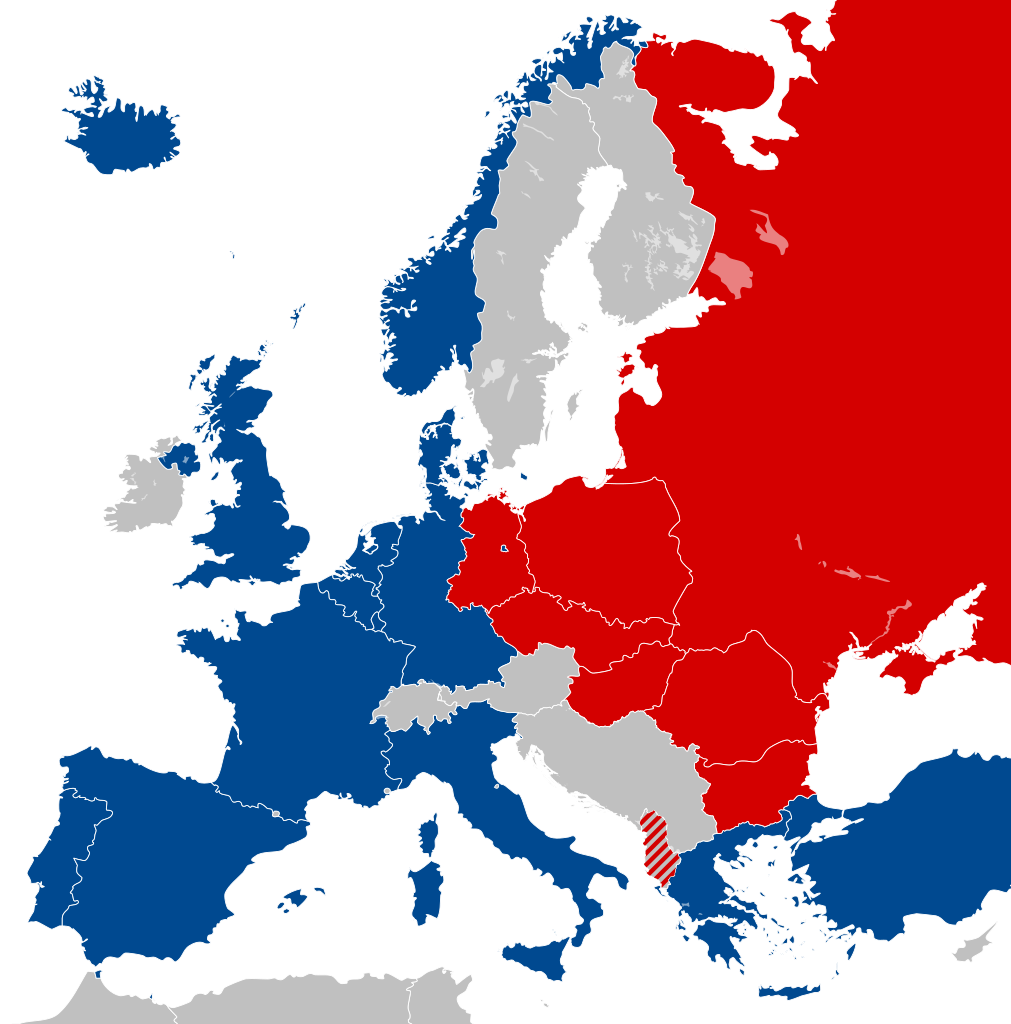
| 2012年2月25日 (六) 18:32 |  | 450 × 456(477 KB) | Alphathon | == {{int:filedesc}} == {{Information |Description={{en|Map of Europe showing NATO and the Warsaw Pact circa 1973.}} |Source={{Derived from|Blank_map_of_Europe_1956-1990.svg|display=50}} |Date=2012-02-25 18:31 (UTC) |Aut... |
文件用途
以下14个页面使用本文件:
全域文件用途
以下其他wiki使用此文件:
- als.wikipedia.org上的用途
- ar.wikipedia.org上的用途
- ca.wikipedia.org上的用途
- Unió de Repúbliques Socialistes Soviètiques
- República Democràtica Alemanya
- República Socialista Federativa Soviètica de Rússia
- República Federal Socialista de Iugoslàvia
- Pacte de Varsòvia
- Consell d'Assistència Econòmica Mútua
- Bloc de l'Est
- República Popular d'Albània
- República Socialista de Romania
- República Democràtica de Finlàndia
- Història de la Unió Soviètica (1985-1991)
- Història de la Unió Soviètica (1953-1985)
- República Popular de Polònia
- Plantilla:Europa Oriental Comunista
- Història de la Unió Soviètica i la Rússia Soviètica (1917-1927)
- Economia de la Unió Soviètica
- Doctrina Bréjnev
- República Popular d'Hongria
- República Popular de Bulgària
- República Socialista Txecoslovaca
- Ampliació de la Unió Europea de 2004
- de.wikipedia.org上的用途
- el.wikipedia.org上的用途
- en.wikipedia.org上的用途
- History of the Soviet Union (1982–1991)
- East Germany
- Warsaw Pact
- History of Soviet Russia and the Soviet Union (1917–1927)
- Byelorussian Soviet Socialist Republic
- History of the Soviet Union (1953–1964)
- Socialist Republic of Romania
- Democratic Federal Yugoslavia
- Socialist Federal Republic of Yugoslavia
- Polish People's Republic
- Ukrainian Soviet Socialist Republic
- History of Czechoslovakia (1948–1989)
- History of the Soviet Union (1927–1953)
- History of Poland (1945–1989)
- Czechoslovak Socialist Republic
- Template:Communist Eastern and Central Europe
- People's Republic of Bulgaria
- Hungarian People's Republic
- History of East Germany
- People's Socialist Republic of Albania
- History of the Soviet Union (1964–1982)
- User:Peterstrempel/Soviet-Brezhnev-draft
- History of the Soviet Union
- History of NATO
- User:Y-S.Ko/Wikipedia course/History
查看此文件的更多全域用途。