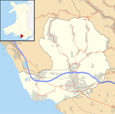
模板:Location map Wales Bridgend
| 名稱 | 布里真德郡級自治市 | |||
|---|---|---|---|---|
| 邊界坐標 | ||||
| 51.68 | ||||
| -3.82 | ←↕→ | -3.45 | ||
| 51.45 | ||||
| 地圖中心 | 51°33′54″N 3°38′06″W / 51.565°N 3.635°W | |||
| 圖像 | Bridgend UK location map.svg | |||

| ||||
| 附加圖像㈠ | Bridgend UK relief location map.jpg | |||

| ||||
| 名稱 | 布里真德郡級自治市 | |||
|---|---|---|---|---|
| 邊界坐標 | ||||
| 51.68 | ||||
| -3.82 | ←↕→ | -3.45 | ||
| 51.45 | ||||
| 地圖中心 | 51°33′54″N 3°38′06″W / 51.565°N 3.635°W / 51.565; -3.635 | |||
| 圖像 | Bridgend UK location map.svg | |||

| ||||
| 附加圖像㈠ | Bridgend UK relief location map.jpg | |||

| ||||